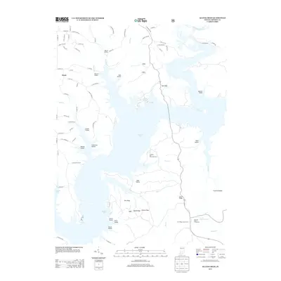
2013 Map of Allens Creek
USGS Topo · Published 2013About this map
Monroe Lake dominates this central Indiana landscape, its intricate shoreline carving into a series of heavily wooded ridges and hollows. The area around Allens Cr and the North Fork Salt Cr is characterized by its recreational and conservation land use, featuring the Ransburg Boy Scout Reservation and the Blackwell Pond Campground. The topography is defined by prominent elevations such as Dutch Ridge, which is home to the Dutch Ridge Lookout Tower, and Rush Ridge. Numerous family-named drainages like Jarrell Hollow, Johnson Hollow, and Martin Hollow suggest the deep-rooted local history of the region prior to the lake's creation. The small settlement of Handy sits in the northwest, connected to the larger landscape via a network of rural routes including S Knightridge Rd and S Swartz Ridge Rd.
Find a feature on this map
85 named features on this map. Tap any name to fly to it.
Don’t see what you’re looking for? This feature index may not catch every label — zoom into the map to look around manually.
Map Details
Editions of this 2013 Allens Creek Map
This is the sole edition of this map. No revisions or reprints were ever made.
Other maps of this area

1908 · Bloomington
USGS Topo · 1:48,000

1910 · Bloomington
USGS Topo · 1:62,500

1934 · Bedford
USGS Topo · 1:48,000

1935 · Oolitic
USGS Topo · 1:48,000

1937 · Bedford
USGS Topo · 1:62,500

1942 · Franklin
USGS Topo · 1:125,000

1942 · Oolitic
USGS Topo · 1:62,500

1946 · Belmont
USGS Topo · 1:24,000

1947 · Allens Creek
USGS Topo · 1:24,000

1947 · Unionville
USGS Topo · 1:24,000