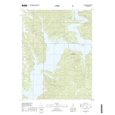
2019 Map of Allens Creek
USGS Topo · Published 2019About this map
Monroe Lake dominates this central Indiana landscape, its intricate shoreline carving into the dense woodlands of the Hoosier National Forest. The map documents a rugged terrain defined by significant ridges and deep hollows, such as Hardin Ridge and Sherril Hollow, which have shaped the local road network and settlement patterns. While the small community of Handy sits in the northwest, much of the area is characterized by dispersed rural features and recreation-oriented infrastructure like Campground Rd. Genealogy and local history are preserved in several family and community burial sites, including Lucas Cem and the Burgoon Church Cem, which sits near the southern extent of Dutch Ridge. The presence of Blackwell Lake and various creeks like Allens Cr highlights the water-rich topography that defines this portion of Monroe County.
Find a feature on this map
103 named features on this map. Tap any name to fly to it.
Don’t see what you’re looking for? This feature index may not catch every label — zoom into the map to look around manually.
Map Details
Editions of this 2019 Allens Creek Map
This is the sole edition of this map. No revisions or reprints were ever made.
Other maps of this area

1908 · Bloomington
USGS Topo · 1:48,000

1910 · Bloomington
USGS Topo · 1:62,500

1934 · Bedford
USGS Topo · 1:48,000

1935 · Oolitic
USGS Topo · 1:48,000

1937 · Bedford
USGS Topo · 1:62,500

1942 · Franklin
USGS Topo · 1:125,000

1942 · Oolitic
USGS Topo · 1:62,500

1946 · Belmont
USGS Topo · 1:24,000

1947 · Allens Creek
USGS Topo · 1:24,000

1947 · Unionville
USGS Topo · 1:24,000