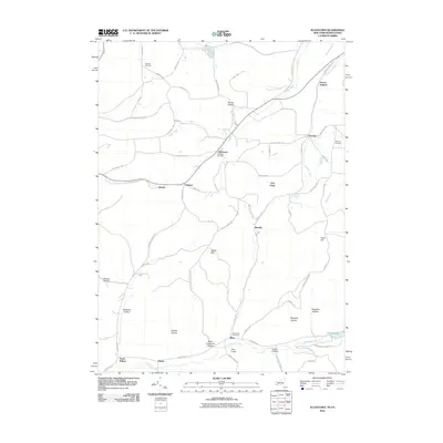
2010 Map of Allentown
USGS Topo · Published 2010About this map
Allentown serves as a central hub for this rural Allegany County landscape, where the terrain is defined by a dense network of hollows and ridges. The settlement pattern follows the narrow valleys, with Petrolia and Pikeville marking historic points of interest along the winding roads. Genealogists can find significant local records through well-placed burial grounds including Dimmick Cemetery in the north and Sunnyside Cemetery near Alma. The topography is particularly striking near Alma Hill, where the land rises sharply above the southern watercourses. The drainage of Honeoye Creek and its various tributaries like Knight Creek and Hog Brook dictates the path of local infrastructure, such as Country Rd 18, while smaller settlements like South Bolivar and Hoben anchor the southwestern corner. This area’s name, Petrolia, hints at the region's historical connection to the local petroleum industry, preserved here amidst the contemporary network of residential roads and forested hills.
Find a feature on this map
75 named features on this map. Tap any name to fly to it.
Don’t see what you’re looking for? This feature index may not catch every label — zoom into the map to look around manually.
Map Details
Editions of this 2010 Allentown Map
This is the sole edition of this map. No revisions or reprints were ever made.
Other maps of this area

1925 · Belmont
USGS Topo · 1:62,500

1926 · Wellsville
USGS Topo · 1:62,500

1932 · Genesee
USGS Topo · 1:62,500

1934 · Coudersport
USGS Topo · 1:48,000

1937 · Genesee
USGS Topo · 1:62,500

1938 · Coudersport
USGS Topo · 1:62,500

1939 · Belmont
USGS Topo · 1:62,500

1950 · Elmira
USGS Topo · 1:250,000

1954 · Williamsport
USGS Topo · 1:250,000

1957 · Warren
USGS Topo · 1:250,000