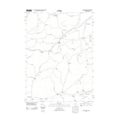
2013 Map of Allentown
USGS Topo · Published 2013About this map
Allentown sits at the heart of this landscape in Allegany County, where the terrain is defined by a dense network of hollows and ridges. The map highlights numerous burial grounds essential for genealogical research, including Allentown Cem, Dimmick Cem, Bellamy Cem, and Sunnyside Cem near Alma. The drainage patterns of Knight Cr and Brimmer Brook carve through the highland, which rises to its highest point at Alma Hill. Traces of the local oil industry appear through roads like Days Oil Lease Rd and Gasoline Alley Rd, while the southern border transition into Pennsylvania is marked by South Bolivar and Hoben. Recreation is also evident at the northern edge near Paradise Lake and Breezy Point Campground.
Find a feature on this map
91 named features on this map. Tap any name to fly to it.
Don’t see what you’re looking for? This feature index may not catch every label — zoom into the map to look around manually.
Map Details
Editions of this 2013 Allentown Map
This is the sole edition of this map. No revisions or reprints were ever made.
Other maps of this area

1925 · Belmont
USGS Topo · 1:62,500

1926 · Wellsville
USGS Topo · 1:62,500

1932 · Genesee
USGS Topo · 1:62,500

1934 · Coudersport
USGS Topo · 1:48,000

1937 · Genesee
USGS Topo · 1:62,500

1938 · Coudersport
USGS Topo · 1:62,500

1939 · Belmont
USGS Topo · 1:62,500

1950 · Elmira
USGS Topo · 1:250,000

1954 · Williamsport
USGS Topo · 1:250,000

1957 · Warren
USGS Topo · 1:250,000