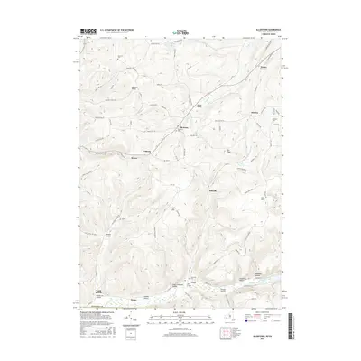
2016 Map of Allentown
USGS Topo · Published 2016About this map
Knight Creek and its many tributaries carve through the upland terrain of southern Allegany County, anchoring a landscape defined by deep valleys and high ridges. The settlement of Allentown sits centrally along the creek, while other small communities like Alma and Pikeville are found further south in the drainage of Honeoye Creek. Genealogists will find several burial grounds noted, including Allentown Cemetery and the hilltop Bellamy Cemetery overlooking Petrolia. The map reveals a complex network of hollows such as Fiftythree Hollow and Kansas Hollow, which once provided the geographic framework for early timber and agricultural development. In the southern reaches, Beaver Lake sits near the confluence of several valleys, illustrating the drainage patterns that shaped the placement of local roads like County Road 18 and Four Mile Road.
Find a feature on this map
87 named features on this map. Tap any name to fly to it.
Don’t see what you’re looking for? This feature index may not catch every label — zoom into the map to look around manually.
Map Details
Editions of this 2016 Allentown Map
This is the sole edition of this map. No revisions or reprints were ever made.
Other maps of this area

1925 · Belmont
USGS Topo · 1:62,500

1926 · Wellsville
USGS Topo · 1:62,500

1932 · Genesee
USGS Topo · 1:62,500

1934 · Coudersport
USGS Topo · 1:48,000

1937 · Genesee
USGS Topo · 1:62,500

1938 · Coudersport
USGS Topo · 1:62,500

1939 · Belmont
USGS Topo · 1:62,500

1950 · Elmira
USGS Topo · 1:250,000

1954 · Williamsport
USGS Topo · 1:250,000

1957 · Warren
USGS Topo · 1:250,000