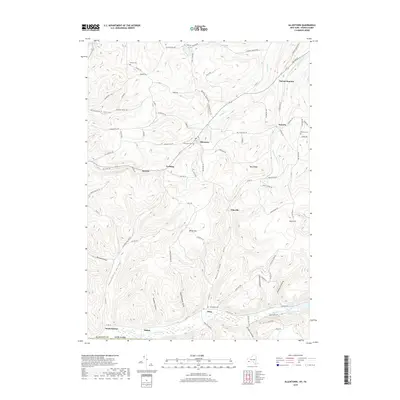
2019 Map of Allentown
USGS Topo · Published 2019About this map
Allentown serves as a central point in this southern Allegany County landscape, where the confluence of Knight Cr and Hog Brook meets the local road network. The terrain is defined by significant elevations like Alma Hill and White Hill, carved by numerous hollows including California Hollow and Gadsby Hollow. This 2019 survey documents a region where small settlements like Vosburg, Sawyer, and Pikeville are connected by winding routes such as Allentown Rd and Petrolia Rd. Genealogy researchers will find several well-placed burial sites preserved on this sheet, including Allentown Cem and the Bellamy Cem near the eastern border. To the south, the path of Honeoye Cr skirts the village of Alma, providing a clear record of the area's hydrology and historic settlement patterns in the hills north of the Pennsylvania state line.
Find a feature on this map
92 named features on this map. Tap any name to fly to it.
Don’t see what you’re looking for? This feature index may not catch every label — zoom into the map to look around manually.
Map Details
Editions of this 2019 Allentown Map
This is the sole edition of this map. No revisions or reprints were ever made.
Other maps of this area

1925 · Belmont
USGS Topo · 1:62,500

1926 · Wellsville
USGS Topo · 1:62,500

1932 · Genesee
USGS Topo · 1:62,500

1934 · Coudersport
USGS Topo · 1:48,000

1937 · Genesee
USGS Topo · 1:62,500

1938 · Coudersport
USGS Topo · 1:62,500

1939 · Belmont
USGS Topo · 1:62,500

1950 · Elmira
USGS Topo · 1:250,000

1954 · Williamsport
USGS Topo · 1:250,000

1957 · Warren
USGS Topo · 1:250,000