Loading...
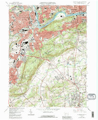
Loading map...1964 Map of Allentown East
USGS Topo · Published 1973About this map
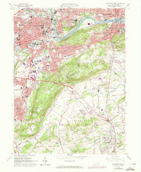
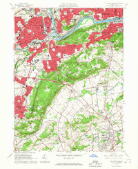
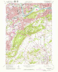
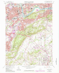
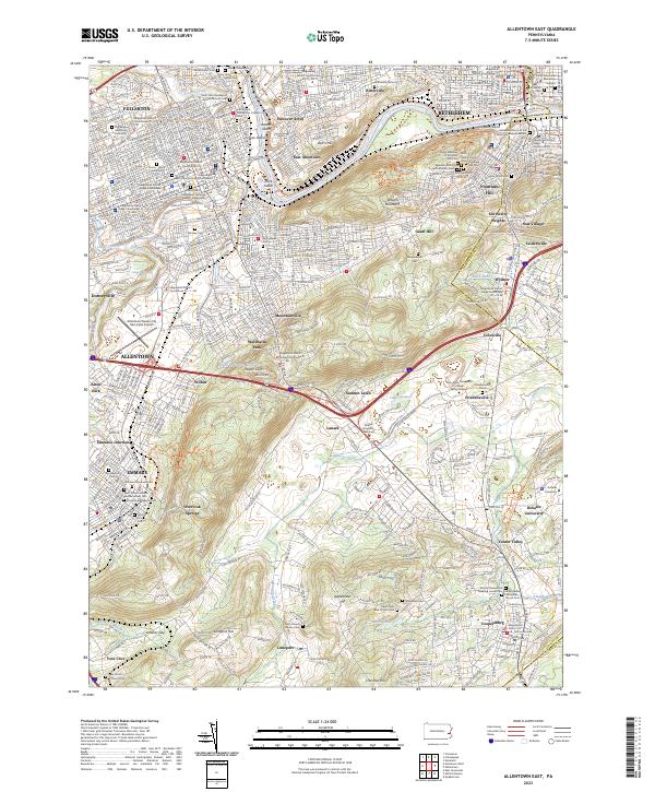
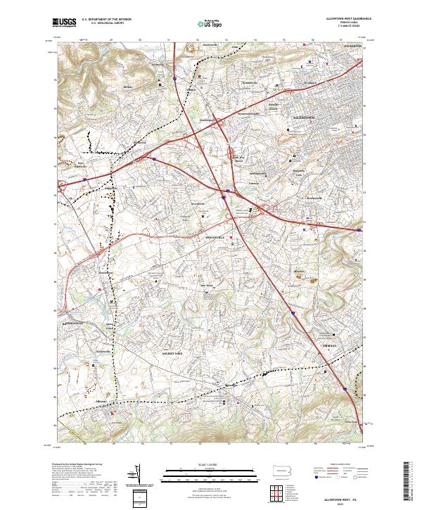
Allentown and Bethlehem serve as the industrial and cultural anchors of this region, joined by the winding Lehigh River and the historical path of the Lehigh Canal. The map reveals a dense landscape of institutions and industry, from the sprawling campus of Lehigh University and Allentown State Hospital to the concentration of quarries and cemeteries like Moravian Cem and Nisky Hill Cem.
Find a feature on this map
113 named features on this map. Tap any name to fly to it.
Don’t see what you’re looking for? This feature index may not catch every label — zoom into the map to look around manually.
Map Details
Date Portrayed1964
Date Published1973
PublisherU.S. Geological Survey
Map TypeTopographic
Scale1:24,000
Physical Dimensions22.1 x 27 inches
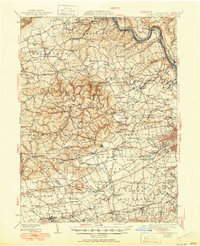
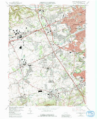
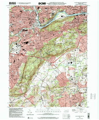
Editions of this 1964 Allentown East Map
5 editions found
Historical Maps of Allentown Through Time
8 maps found

Featured Locations
Source Details
SourceU.S. Geological Survey
CopyrightPublic Domain