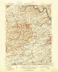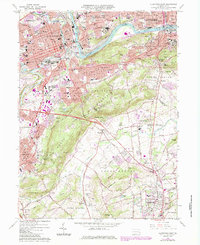
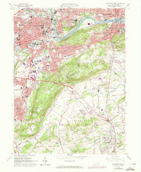
1964 Map of Allentown East
USGS Topo · Published 1984About this map
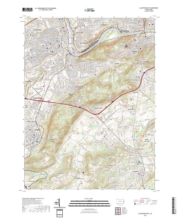
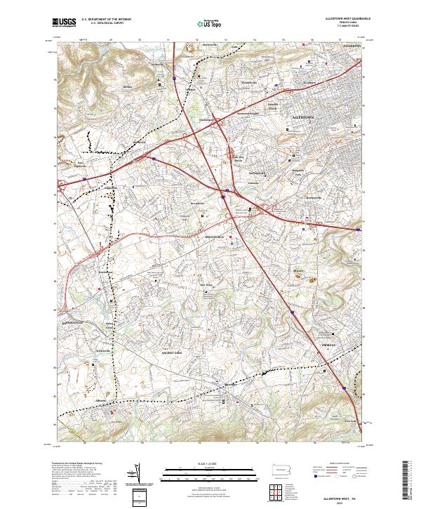
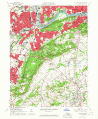
South Mountain dominates the center of this landscape, separating the urban industrial corridors of the Lehigh River from the smaller settlements in the Saucon and Lehigh valleys. In the north, the sprawling grounds of the Allentown State Hospital and the historic Lehigh Canal follow the river's curve through Allentown and Bethlehem. The presence of numerous quarries and gravel pits around Friedensville and Lanark points to the region's long-standing extractive industries. This mid-1960s survey, with early-1980s updates, captures the area during a period of transition as Interstate 78 begins to reshape local travel. For the local historian, the map preserves the locations of established institutions like Eastern Pilgrim College and the Carmelite Monastery, alongside family-named landmarks such as Gauff Hill and Moyers Lake.
Find a feature on this map
105 named features on this map. Tap any name to fly to it.
Don’t see what you’re looking for? This feature index may not catch every label — zoom into the map to look around manually.
Map Details
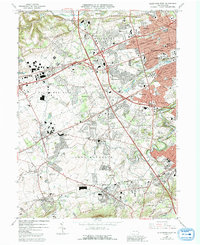
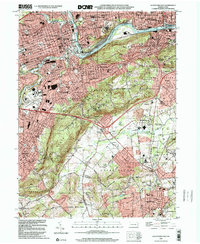
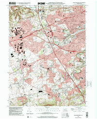
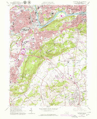
Editions of this 1964 Allentown East Map
5 editions found
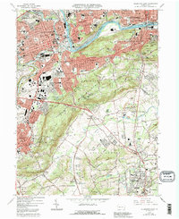
Historical Maps of Allentown Through Time
8 maps found