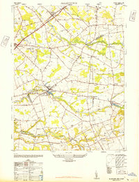
1948 Map of Allentown
USGS Topo · Published 1948About this map
Allentown and its surroundings serve as a central hub for this post-war landscape, where the convergence of the Mercer and Monmouth County lines meets a dense network of farming hamlets and early industrial sites. The borough itself is anchored by institutions like the Allentown High School and Doctor Farmers Hospital, while its outskirts are dotted with smaller settlements such as Imlaystown, Nelsonville, and Robbinsville. The map reveals a highly developed agricultural and transport corridor, from the Windsor Township School in the north to the Kirbys Mills area along Crosswicks Creek in the south.
Find a feature on this map
51 named features on this map. Tap any name to fly to it.
Don’t see what you’re looking for? This feature index may not catch every label — zoom into the map to look around manually.
Map Details
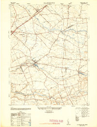
Editions of this 1948 Allentown Map
2 editions found
Other maps of this area

1888 · Bordentown
USGS Topo · 1:62,500

1888 · New Brunswick
USGS Topo · 1:62,500

1888 · Princeton
USGS Topo · 1:62,500

1888 · Cassville
USGS Topo · 1:62,500

1893 · Bordentown
USGS Topo · 1:62,500

1893 · New Brunswick
USGS Topo · 1:62,500

1894 · Princeton
USGS Topo · 1:62,500

1894 · Cassville
USGS Topo · 1:62,500

1900 · Cassville
USGS Topo · 1:62,500

1901 · New Brunswick
USGS Topo · 1:62,500
Featured Places
- Hamilton Township, NJ
- East Windsor Township, NJ
- West Windsor, NJ
- Robbinsville Township, NJ
- Millstone Township, NJ