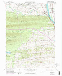
1965 Map of Allenwood
USGS Topo · Published 1973About this map
The Susquehanna River defines the eastern boundary of this mid-1960s landscape, where the Penn Central and Reading railroads trace the riverbanks through Allenwood and Dewart. To the west, the terrain rises sharply toward White Deer Ridge and Nittany Mountain, separating the river valley's agricultural settlements from the dense forest of Bald Eagle State Forest. The northern section is notably occupied by the Allenwood Prison Camp and large tracts of State Game Lands No 252. In the southern half of the map, the landscape transitions into the farming communities of Kelly Crossroads and West Milton. This survey captures a specific era of infrastructure, showing the White Deer Dam and Spruce Run Reservoir alongside local landmarks like the Devitt Home and several rural churches, including St Johns Ch and St Peters Ch.
Find a feature on this map
43 named features on this map. Tap any name to fly to it.
Don’t see what you’re looking for? This feature index may not catch every label — zoom into the map to look around manually.
Map Details
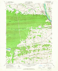
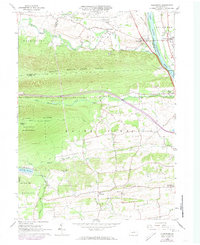
Editions of this 1965 Allenwood Map
3 editions found
Other maps of this area

1893 · Sunbury
USGS Topo · 1:62,500

1921 · Williamsport
USGS Topo · 1:48,000

1923 · Williamsport
USGS Topo · 1:62,500

1924 · Milton
USGS Topo · 1:62,500

1938 · Mifflinburg
USGS Topo · 1:48,000

1943 · Sunbury
USGS Topo · 1:62,500

1943 · Mifflinburg
USGS Topo · 1:62,500

1944 · Williamsport
USGS Topo · 1:62,500

1950 · Harrisburg
USGS Topo · 1:250,000
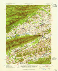
1953 · Mifflinburg
USGS Topo · 1:62,500
Featured Places
- White Deer Township, PA
- Buffalo Township, PA
- Allenwood, Gregg Township
- Gregg Township, PA
- Dewart, Delaware Township