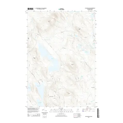
2014 Map of Alligator Lake
USGS Topo · Published 2014About this map
Alligator Lake serves as the central focal point of this Hancock County landscape, which is defined by an intricate network of waterways and timberland access. The W Br Narraguagus River flows through the northern reaches, joined by numerous tributaries including Eagle Brook and Alligator Stream. High ground is marked by prominent peaks such as Eagle Mtn, Blackcap Mtn, and the distinctive Pinnacle. The cartography reveals a highly developed system of forestry and access routes, notably the prominent Stud Mill Rd and its many numbered spurs like 27-00-0 Rd, which provide passage through the dense terrain between Bamfords Ridge and Gould Ridge. Smaller water bodies including Lower Middle Br Pond and Williams Pond dot the southern half, illustrating the glacial topography characteristic of this part of Maine.
Find a feature on this map
61 named features on this map. Tap any name to fly to it.
Don’t see what you’re looking for? This feature index may not catch every label — zoom into the map to look around manually.
Map Details
Editions of this 2014 Alligator Lake Map
This is the sole edition of this map. No revisions or reprints were ever made.
Other maps of this area

1929 · Great Pond
USGS Topo · 1:48,000

1929 · Lead Mountain
USGS Topo · 1:48,000

1931 · Saponac
USGS Topo · 1:48,000

1932 · Nicatous Lake
USGS Topo · 1:48,000

1932 · Lead Mountain
USGS Topo · 1:62,500

1932 · Great Pond
USGS Topo · 1:62,500

1934 · Saponac
USGS Topo · 1:62,500

1934 · Nicatous Lake
USGS Topo · 1:62,500

1948 · Bangor
USGS Topo · 1:250,000

1954 · Millinocket
USGS Topo · 1:250,000