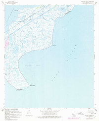
1968 Map of Alligator Point
USGS Topo · Published 1978About this map
Lake Borgne and the tidal marshes of Orleans and St. Bernard Parishes dominate this coastal survey. The landscape is defined by an intricate network of waterways including Unknown Pass, Blind Bayou, and Bobs Bayou, which illustrate the complex hydrology of the Mississippi River Delta before significant modern alteration. Human infrastructure is concentrated along the northern corridor, where the Louisville and Nashville railroad runs parallel to the Intracoastal Waterway, providing a vital transit link through the wetlands. Early petroleum exploration is evident across the marsh, marked by several Gas Wells and an Oil Well near Lake St. Catherine. This map serves as a detailed record of the shoreline before the 1976 photorevisions, capturing the natural points such as Alligator Point and Shell Point that shape the coastline of Alligator Bend.
Find a feature on this map
25 named features on this map. Tap any name to fly to it.
Don’t see what you’re looking for? This feature index may not catch every label — zoom into the map to look around manually.
Map Details
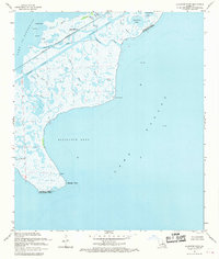
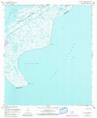
Editions of this 1968 Alligator Point Map
3 editions found
Other maps of this area

1892 · Chef Menteur
USGS Topo · 1:62,500

1892 · St. Bernard
USGS Topo · 1:62,500

1893 · Rigolets
USGS Topo · 1:62,500

1893 · Shell Beach
USGS Topo · 1:62,500

1935 · English Lookout
USGS Topo · 1:31,680

1936 · North Shore
USGS Topo · 1:31,680

1936 · Chef Menteur
USGS Topo · 1:62,500

1936 · Rigolets
USGS Topo · 1:62,500

1937 · Chef Menteur
USGS Topo · 1:31,680

1939 · Shell Beach
USGS Topo · 1:62,500