Loading...
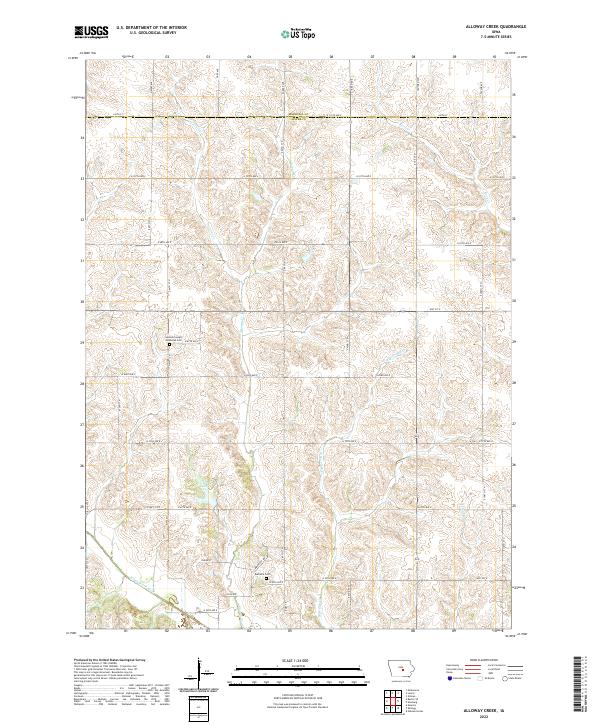
Loading map...2022 Map of Alloway Creek
USGS Topo · Published 2022About this map
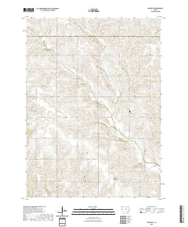
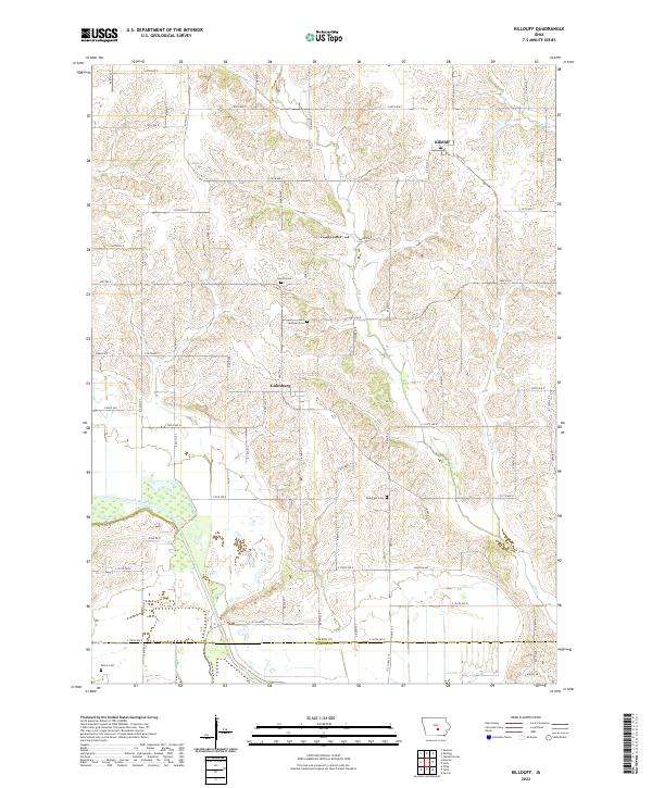
German Society Methodist Cem and the Rushville Cem stand as quiet landmarks in this rural corner of central Iowa, where the landscape is defined by the headwaters and tributaries of the North Skunk River. The terrain is deeply etched by a network of drainage ways, including Alloway Cr, W Burr Oak Cr, and Potato Cr, which carve through the agricultural fields of the Jasper and Marshall county line.
Find a feature on this map
35 named features on this map. Tap any name to fly to it.
Don’t see what you’re looking for? This feature index may not catch every label — zoom into the map to look around manually.
Map Details
Date Portrayed2022
Date Published2022
PublisherU.S. Geological Survey
Map TypeTopographic
Scale1:24000
Physical Dimensions24 x 29 inches
Editions of this 2022 Alloway Creek Map
This is the sole edition of this map. No revisions or reprints were ever made.
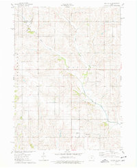
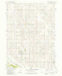
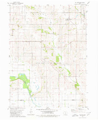
Historical Maps of Mariposa Township Through Time
8 maps found

Featured Locations
- Kellogg Township, IA
- Mariposa Township, IA
- Rock Creek Township, IA
- Hickory Grove Township, IA
- Greencastle Township, IA
Source Details
SourceU.S. Geological Survey
CopyrightPublic Domain