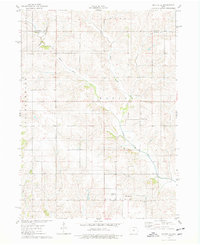
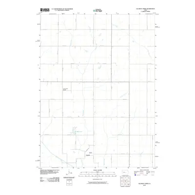
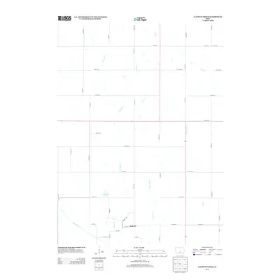
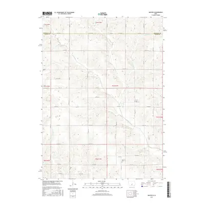
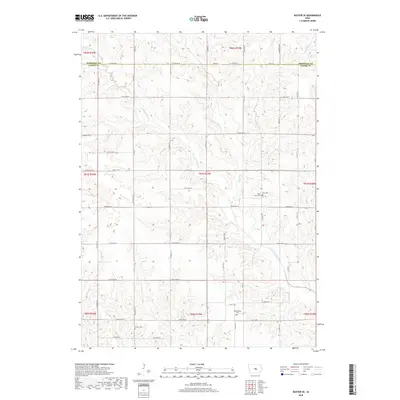
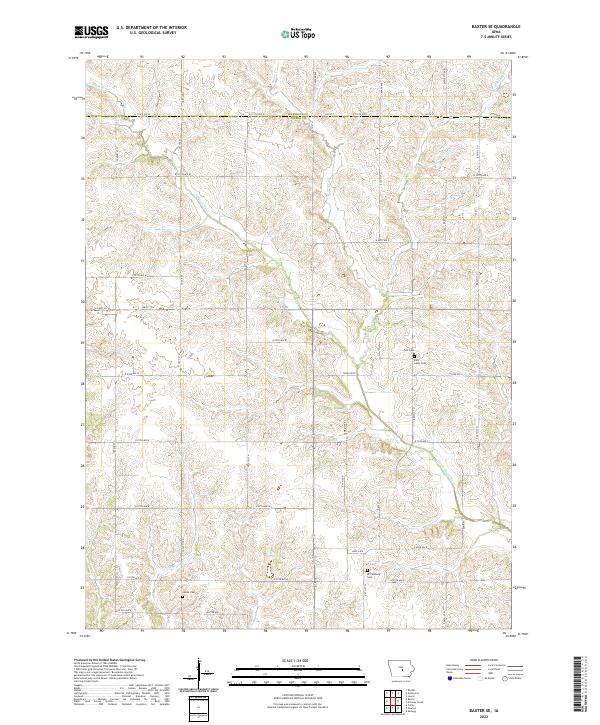
1975 Map of Baxter SE
USGS Topo · Published 1978About this map
The North Skunk River meanders through the central and southern portions of this Jasper County landscape, defining the topography across the townships of Logan, Malaka, Newton, and Independence. In the mid-1970s, the rural character of the area is well-preserved, anchored by long-standing social and religious sites such as the Wittenberg Grange Hall and the Church of Christ. This survey documents a traditional agricultural network where small family cemeteries, including Bethany Cem and Zoar Cem, serve as critical markers for local genealogists tracing early settlement patterns.
Find a feature on this map
20 named features on this map. Tap any name to fly to it.
Don’t see what you’re looking for? This feature index may not catch every label — zoom into the map to look around manually.
Map Details
Editions of this 1975 Baxter SE Map
This is the sole edition of this map. No revisions or reprints were ever made.
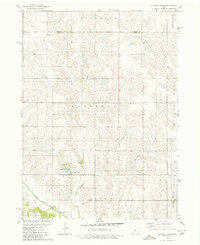
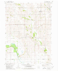
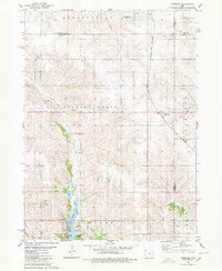
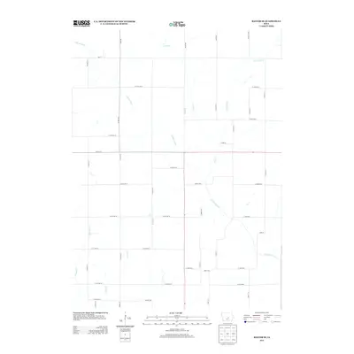
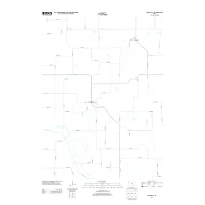
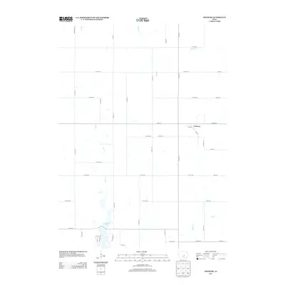
Historical Maps of Kellogg Township Through Time
24 maps found
1975 Baxter SE
Jasper County, IA
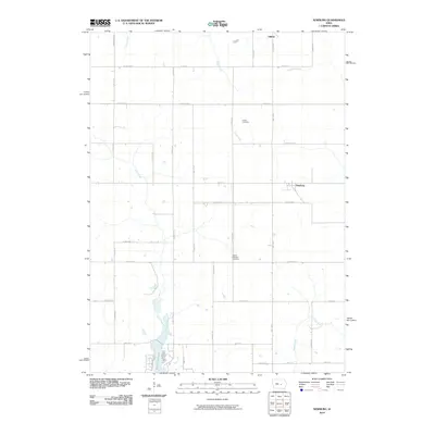
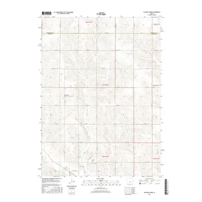
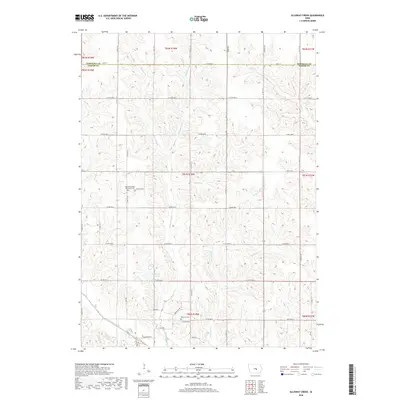
1980 Alloway Creek
Jasper County, IA
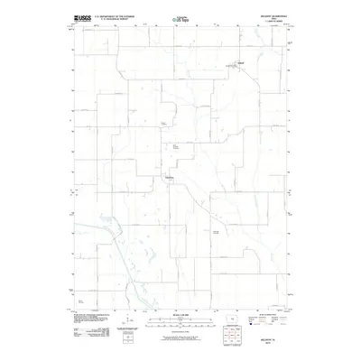
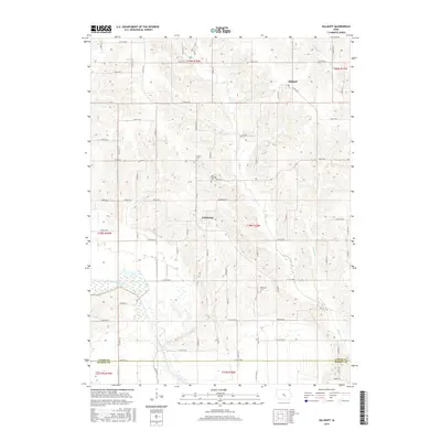
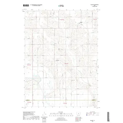
1980 Killduff
Jasper County, IA
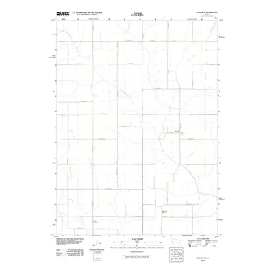
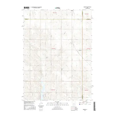
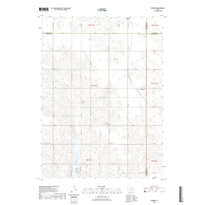
1980 Newburg
Jasper County, IA
2010 Alloway Creek
Jasper County, IA
2010 Baxter SE
Jasper County, IA
2010 Killduff
Jasper County, IA
2010 Newburg
Jasper County, IA
2013 Alloway Creek
Jasper County, IA
2013 Baxter SE
Jasper County, IA
2013 Killduff
Jasper County, IA
2013 Newburg
Jasper County, IA
2015 Alloway Creek
Jasper County, IA
2015 Baxter SE
Jasper County, IA
2015 Killduff
Jasper County, IA
2015 Newburg
Jasper County, IA
2018 Alloway Creek
Jasper County, IA
2018 Baxter SE
Jasper County, IA
2018 Killduff
Jasper County, IA
2018 Newburg
Jasper County, IA
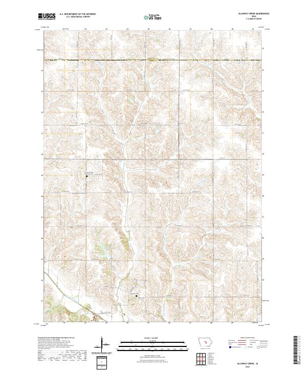
2022 Alloway Creek
Jasper County, IA
2022 Baxter SE
Jasper County, IA
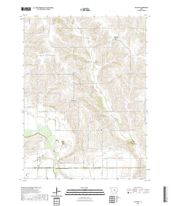
2022 Killduff
Jasper County, IA

2022 Newburg
Jasper County, IA