
1975 Map of Rhodes
USGS Topo · Published 1978About this map
Rhodes serves as the central hub of this mid-1970s survey, situated where the Chicago Milwaukee St Paul and Pacific railroad cuts through the heart of Eden township. The landscape is defined by the agricultural divide of the Story Co and Marshall Co line, with the western edge dominated by the Hendrickson Marsh State Hunting Area. Local history is deeply etched into the countryside through a network of small family and community burial grounds, including Eden Cem, St Josephs Cem, and Nicholls Cem. The hydrologic pattern is shaped by the North Skunk River and its tributaries like Clear Creek and Willow Creek, which dictate the drainage for the surrounding farms. This era shows the town of Rhodes maintaining its classic rural grid alongside modern infrastructure like the Sewage Disposal Ponds and local Gravel Pit operations.
Find a feature on this map
21 named features on this map. Tap any name to fly to it.
Don’t see what you’re looking for? This feature index may not catch every label — zoom into the map to look around manually.
Map Details
Editions of this 1975 Rhodes Map
This is the sole edition of this map. No revisions or reprints were ever made.
Other maps of this area

1954 · Waterloo
USGS Topo · 1:250,000

1954 · Des Moines
USGS Topo · 1:250,000

1955 · Waterloo
USGS Topo · 1:250,000

1956 · Des Moines
USGS Topo · 1:250,000

1957 · Des Moines
USGS Topo · 1:250,000

1969 · Des Moines
USGS Topo · 1:250,000

1975 · Mingo
USGS Topo · 1:24,000

1975 · State Center
USGS Topo · 1:24,000
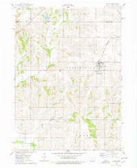
1975 · Baxter
USGS Topo · 1:24,000
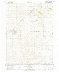
1975 · Melbourne
USGS Topo · 1:24,000