
1965 Map of Newton
USGS Topo · Published 1966About this map
The Chicago Rock Island and Pacific railroad bisects this mid-1960s portrait of Jasper County, linking the growing manufacturing hub of Newton to the surrounding prairie. The city’s core is densely packed with civic landmarks, including the library and hospital, while newer developments like Lambs Grove and Aurora Heights Sch push toward the western and eastern edges. To the south, the industrial and agrarian landscape is defined by the Riverview Honor Farm near the banks of the South Skunk River. Several significant cemeteries, such as Union Cem and Woodland Cem, anchor the older sections of the township, while the Newton Speedway and a Drive-in Theater reflect the mid-century expansion of local recreation and car culture.
Find a feature on this map
41 named features on this map. Tap any name to fly to it.
Don’t see what you’re looking for? This feature index may not catch every label — zoom into the map to look around manually.
Map Details
Editions of this 1965 Newton Map
This is the sole edition of this map. No revisions or reprints were ever made.
Other maps of this area

1954 · Des Moines
USGS Topo · 1:250,000

1956 · Des Moines
USGS Topo · 1:250,000

1957 · Des Moines
USGS Topo · 1:250,000

1965 · Prairie City
USGS Topo · 1:24,000

1965 · Monroe
USGS Topo · 1:24,000

1965 · Colfax
USGS Topo · 1:24,000

1969 · Des Moines
USGS Topo · 1:250,000
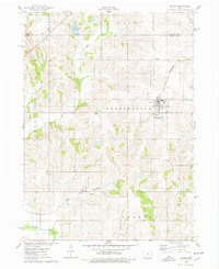
1975 · Baxter
USGS Topo · 1:24,000

1975 · Baxter SE
USGS Topo · 1:24,000
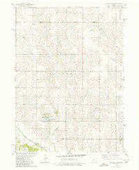
1980 · Alloway Creek
USGS Topo · 1:24,000