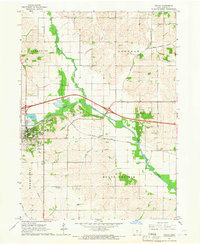
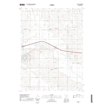
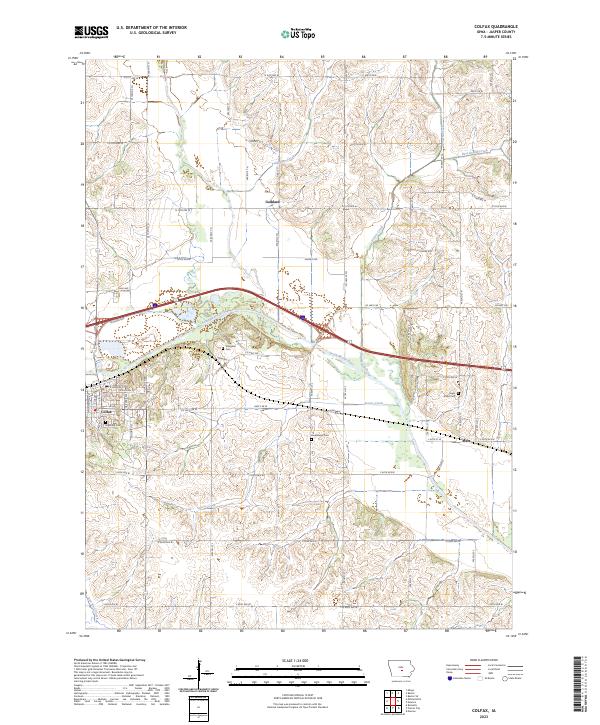
1965 Map of Colfax
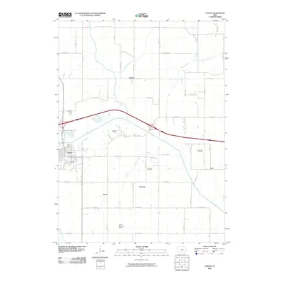
USGS Topo · Published 1966About this map
The South Skunk River meanders through this Jasper County landscape, defining the valley floor where the Chicago Rock Island and Pacific railroad tracks run parallel to Rock Creek. The city of Colfax serves as the primary hub, showing a detailed street grid and significant local landmarks like Schlosser Park and the Salvatorian Novitiate. This mid-1960s survey captures the area just as modern infrastructure was expanding, evidenced by the developing 4 Lane highway corridor cutting across the northern sections of Mound Prairie and Sherman townships.
Find a feature on this map
27 named features on this map. Tap any name to fly to it.
Don’t see what you’re looking for? This feature index may not catch every label — zoom into the map to look around manually.
Map Details
Editions of this 1965 Colfax Map
This is the sole edition of this map. No revisions or reprints were ever made.
Historical Maps of Colfax Through Time
6 maps found
Featured Locations
- Mound Prairie Township, IA
- Colfax, IA
- Washington Township, IA
- Metz, Mound Prairie Township
- Goddard, Sherman Township