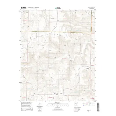
2014 Map of Alread
USGS Topo · Published 2014About this map
Archey Creek and the South Fork Little Red River carve a complex network of valleys and hollows across this section of the Ozarks. Small communities like Alread, Copeland, and Chimes are scattered along high ridges and narrow bottomlands, connected by a web of rural routes including Highway 16 and Highway 254. The landscape is defined by its dramatic relief, with named features such as Alum Cave Canyon and Rattlesnake Hollow highlighting the varied terrain. For those tracing family roots in Van Buren and Searcy counties, the location of the Liberty Cemetery near Archey Valley provides a specific point of interest. The map documents a rural way of life where geography dictates the layout of settlements and roads like Bohannon Road and Pumpkin Center Road.
Find a feature on this map
73 named features on this map. Tap any name to fly to it.
Don’t see what you’re looking for? This feature index may not catch every label — zoom into the map to look around manually.
Map Details
Editions of this 2014 Alread Map
This is the sole edition of this map. No revisions or reprints were ever made.
Other maps of this area

1879 · Washington
USGS Topo · 1:62,500

1887 · Smyrna
USGS Topo · 1:62,500

1889 · Marshall #3
USGS Topo · 1:62,500

1892 · Marshall
USGS Topo · 1:125,000

1894 · Marshall
USGS Topo · 1:125,000

1901 · Marshall
USGS Topo · 1:125,000

1939 · Snowball
USGS Topo · 1:62,500

1940 · Smyrna
USGS Topo · 1:62,500

1941 · Snowball
USGS Topo · 1:62,500

1942 · Snowball
USGS Topo · 1:62,500