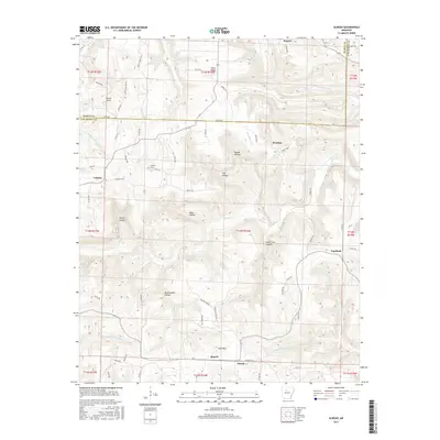
2017 Map of Alread
USGS Topo · Published 2017About this map
Alread and the surrounding Van Buren County uplands are defined by a complex network of hollows and ridges where the Middle Fork Little Red River and S Fork Little Red River begin their descent. Small settlements like Chimes, Rupert, and Copeland are linked by a web of county roads that navigate the sharp elevation changes of Pine Mtn and Trace Ridge. The landscape is etched with deep drainage patterns, including Archey Cr and the distinctively named Alum Cave Canyon. This map preserves the locations of local landmarks central to these rural communities, such as Liberty Cem, and numerous family-named points of interest like Reves Knob and Woods Hollow. The transition from the high ridges of Searcy County into the river forks of Van Buren County illustrates the traditional settlement patterns of the Ozark foothills.
Find a feature on this map
70 named features on this map. Tap any name to fly to it.
Don’t see what you’re looking for? This feature index may not catch every label — zoom into the map to look around manually.
Map Details
Editions of this 2017 Alread Map
This is the sole edition of this map. No revisions or reprints were ever made.
Other maps of this area

1879 · Washington
USGS Topo · 1:62,500

1887 · Smyrna
USGS Topo · 1:62,500

1889 · Marshall #3
USGS Topo · 1:62,500

1892 · Marshall
USGS Topo · 1:125,000

1894 · Marshall
USGS Topo · 1:125,000

1901 · Marshall
USGS Topo · 1:125,000

1939 · Snowball
USGS Topo · 1:62,500

1940 · Smyrna
USGS Topo · 1:62,500

1941 · Snowball
USGS Topo · 1:62,500

1942 · Snowball
USGS Topo · 1:62,500