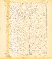
1970 Map of Alta Vista
USGS Topo · Published 1973About this map
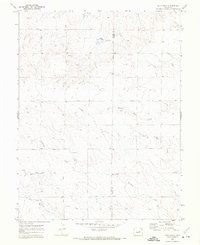
Alta Vista sits at the heart of this High Plains landscape, where the border between El Paso and Elbert counties divides a network of seasonal drainages and rural corridors. The terrain is defined by the headwaters and branches of the Rush Creek system, including Middle Rush Creek and South Rush Creek, which carve subtle valleys through the prairie. This 1970s survey captures a transition in the local infrastructure, documenting early ranching and transit routes such as Alford Road and Harrisville Road.
Find a feature on this map
15 named features on this map. Tap any name to fly to it.
Don’t see what you’re looking for? This feature index may not catch every label — zoom into the map to look around manually.
Map Details
Editions of this 1970 Alta Vista Map
2 editions found
Other maps of this area

1889 · Sanborn
USGS Topo · 1:125,000

1891 · Sanborn
USGS Topo · 1:125,000

1891 · Limon
USGS Topo · 1:125,000

1892 · Limon
USGS Topo · 1:125,000

1893 · Sanborn
USGS Topo · 1:125,000

1893 · Big Springs
USGS Topo · 1:125,000

1953 · Denver
USGS Topo · 1:250,000

1954 · Limon
USGS Topo · 1:250,000

1954 · Lamar
USGS Topo · 1:250,000

1954 · Pueblo
USGS Topo · 1:250,000