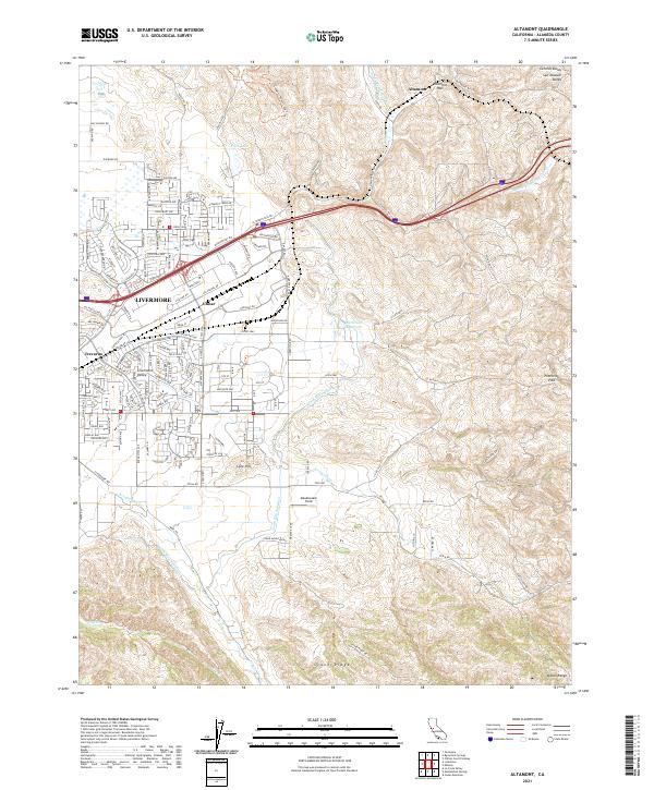
2021 Map of Altamont
USGS Topo · Published 2021About this map
Altamont Pass serves as a critical geographic gateway where the coastal mountains meet the San Joaquin Valley. This 2021 survey illustrates the complex modern infrastructure of eastern Alameda County, featuring the winding South Bay Aqueduct and the primary transit corridor through the hills. While the expansion of Livermore is evident in the residential developments near Trevarno, the landscape quickly transitions into the open cattle country and wind-swept ridges of the Diablo Range.
Find a feature on this map
175 named features on this map. Tap any name to fly to it.
Don’t see what you’re looking for? This feature index may not catch every label — zoom into the map to look around manually.
Map Details
Editions of this 2021 Altamont Map
This is the sole edition of this map. No revisions or reprints were ever made.
Other maps of this area

1896 · Mt. Diablo
USGS Topo · 1:62,500

1898 · Mt. Diablo
USGS Topo · 1:62,500

1906 · Pleasanton
USGS Topo · 1:62,500

1907 · Tesla
USGS Topo · 1:62,500

1911 · Byron Hot Springs
USGS Topo · 1:31,680

1914 · Bethany
USGS Topo · 1:31,680

1916 · Byron Hot Springs
USGS Topo · 1:31,680

1916 · Byron
USGS Topo · 1:62,500

1916 · Midway
USGS Topo · 1:31,680

1940 · Byron
USGS Topo · 1:62,500