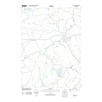
2010 Map of Altamont
USGS Topo · Published 2010About this map
The village of Altamont sits at the foot of the Helderberg Mountains, where the agricultural plateau of Albany County drops toward the valley below. This landscape is defined by its dramatic escarpment and the water that carves through it, notably at Bozen Kill Falls and Mine Lot Falls. The area around Knox and East Township maintains a rural character, evidenced by the numerous family and community burial grounds such as Ostrander Cemetery, Lainhart Cemetery, and Snyder Cemetery.
Find a feature on this map
75 named features on this map. Tap any name to fly to it.
Don’t see what you’re looking for? This feature index may not catch every label — zoom into the map to look around manually.
Map Details
Editions of this 2010 Altamont Map
This is the sole edition of this map. No revisions or reprints were ever made.
Other maps of this area

1893 · Schenectady
USGS Topo · 1:62,500

1893 · Albany
USGS Topo · 1:62,500

1895 · Albany
USGS Topo · 1:62,500

1895 · Schenectady
USGS Topo · 1:62,500

1895 · Amsterdam
USGS Topo · 1:62,500

1898 · Schenectady
USGS Topo · 1:62,500

1898 · Albany
USGS Topo · 1:62,500

1900 · Berne
USGS Topo · 1:62,500

1903 · Berne
USGS Topo · 1:62,500

1927 · Albany
USGS Topo · 1:62,500