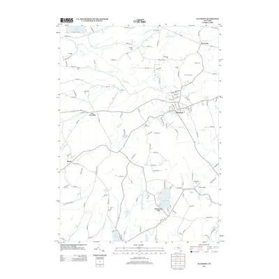
2013 Map of Altamont
USGS Topo · Published 2013About this map
Altamont serves as a central hub in this corner of Albany County, where the village layout and surrounding orchards reflect a long history of upland agriculture. To the north, Dunnsville and the Settles Hill area show a landscape partitioned by early transportation routes like the Schoharie Tpke and W Old State Rd. For genealogists, the map is particularly rich in family-named burial sites, including the Ostrander Cem, Snyder Cem, Vanderpool Cem, and Lainhart Cem. The terrain is defined by the steep escarpments at Indian Ladder and the Horseshoe Lot, where Mine Lot Falls marks the dramatic drop of the Helderberg Plateau. Water resources are well-documented, from the Altamont Reservoir to the recreation areas around Thompsons Lake and Warner Lake, illustrating the transition from rural farming tracts to protected water and leisure spaces.
Find a feature on this map
124 named features on this map. Tap any name to fly to it.
Don’t see what you’re looking for? This feature index may not catch every label — zoom into the map to look around manually.
Map Details
Editions of this 2013 Altamont Map
This is the sole edition of this map. No revisions or reprints were ever made.
Other maps of this area

1893 · Schenectady
USGS Topo · 1:62,500

1893 · Albany
USGS Topo · 1:62,500

1895 · Albany
USGS Topo · 1:62,500

1895 · Schenectady
USGS Topo · 1:62,500

1895 · Amsterdam
USGS Topo · 1:62,500

1898 · Schenectady
USGS Topo · 1:62,500

1898 · Albany
USGS Topo · 1:62,500

1900 · Berne
USGS Topo · 1:62,500

1903 · Berne
USGS Topo · 1:62,500

1927 · Albany
USGS Topo · 1:62,500