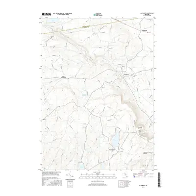
2016 Map of Altamont
USGS Topo · Published 2016About this map
The Helderberg Mountains define the dramatic topography of this Albany County landscape, where the escarpment creates notable landmarks such as Indian Ladder and Horseshoe Lot. This modern survey records a region characterized by its transition from the plateau down to the valley floor, with the village of Altamont serving as a central hub. Water features are prominent throughout the area, including the Altamont Reservoir and several significant lakes such as Thompsons Lake and Warner Lake.
Find a feature on this map
94 named features on this map. Tap any name to fly to it.
Don’t see what you’re looking for? This feature index may not catch every label — zoom into the map to look around manually.
Map Details
Editions of this 2016 Altamont Map
This is the sole edition of this map. No revisions or reprints were ever made.
Other maps of this area

1893 · Schenectady
USGS Topo · 1:62,500

1893 · Albany
USGS Topo · 1:62,500

1895 · Albany
USGS Topo · 1:62,500

1895 · Schenectady
USGS Topo · 1:62,500

1895 · Amsterdam
USGS Topo · 1:62,500

1898 · Schenectady
USGS Topo · 1:62,500

1898 · Albany
USGS Topo · 1:62,500

1900 · Berne
USGS Topo · 1:62,500

1903 · Berne
USGS Topo · 1:62,500

1927 · Albany
USGS Topo · 1:62,500