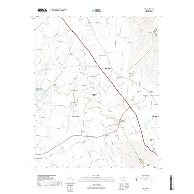
2019 Map of Alto
USGS Topo · Published 2019About this map
The Cumberland Escarpment defines the eastern boundary of this region, where the high plateau drops toward the fertile basins of the Elk River. This transition creates a varied landscape of sharp bluffs like Wild Boar Bluff and tucked-away valleys such as Bost Cove and Roark Cove. The settlement pattern reflects a long history of river-crossing and valley farming, with clusters of family cemeteries and small communities like Prairie Plains and Wilder Chapel scattered across the lowlands.
Find a feature on this map
127 named features on this map. Tap any name to fly to it.
Don’t see what you’re looking for? This feature index may not catch every label — zoom into the map to look around manually.
Map Details
Editions of this 2019 Alto Map
This is the sole edition of this map. No revisions or reprints were ever made.
Other maps of this area

1895 · Sewanee
USGS Topo · 1:125,000

1928 · Decherd
USGS Topo · 1:62,500

1936 · Sewanee
USGS Topo · 1:24,000

1936 · Alto
USGS Topo · 1:24,000

1936 · Manchester
USGS Topo · 1:24,000

1936 · Burrow Cove
USGS Topo · 1:24,000

1936 · Monteagle
USGS Topo · 1:24,000

1936 · Winchester
USGS Topo · 1:24,000

1936 · Hillsboro
USGS Topo · 1:24,000

1936 · Capitol Hill
USGS Topo · 1:24,000