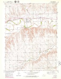
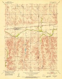
1953 Map of Alton
USGS Topo · Published 1979About this map
Alton stands at the heart of this mid-century landscape, positioned along the South Fork Solomon River and the tracks of the Missouri Pacific railroad. The map documents an era of infrastructure development in the Missouri River Basin, highlighted by the presence of the Osborne Canal and a Levee protecting the river bottomlands. This survey is particularly useful for genealogical research, as it identifies numerous rural community centers that supported the surrounding agricultural townships of Grant, Hawkeye, and Sumner.
Find a feature on this map
23 named features on this map. Tap any name to fly to it.
Don’t see what you’re looking for? This feature index may not catch every label — zoom into the map to look around manually.
Map Details
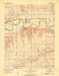
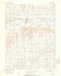
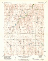
Editions of this 1953 Alton Map
3 editions found
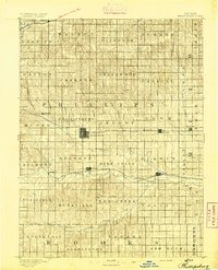
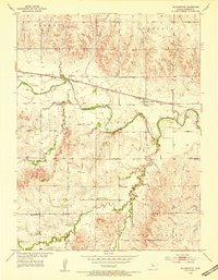
Other maps of this area

1893 · Smith Center
USGS Topo · 1:125,000
1893 · Phillipsburg
USGS Topo · 1:125,000

1896 · Osborne
USGS Topo · 1:125,000

1896 · Plainville
USGS Topo · 1:125,000
1953 · Bloomington
USGS Topo · 1:24,000
1953 · Woodston
USGS Topo · 1:24,000
1953 · Alton
USGS Topo · 1:24,000

1955 · Beloit
USGS Topo · 1:250,000

1959 · Beloit
USGS Topo · 1:250,000
1961 · Kirwin SE
USGS Topo · 1:24,000