2023 Map of Alton
USGS Topo · Published 2023About this map
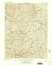
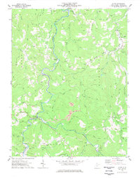
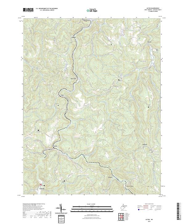
The Buckhannon River and its multiple forks define this area of Upshur County, where high ridges like Democrat Ridge and Phillips Ridge separate a network of small mountain communities. Many of these settlements, including Alton, Alexander, and Imperial, are situated along the riverbanks, illustrating the historical dependence on waterways for both travel and industry. The landscape is dotted with several family and community burial grounds, such as Alton Cem and Brooks Hill Cem, which serve as vital points for genealogical research.
Find a feature on this map
89 named features on this map. Tap any name to fly to it.
Don’t see what you’re looking for? This feature index may not catch every label — zoom into the map to look around manually.
Map Details
Editions of this 2023 Alton Map
This is the sole edition of this map. No revisions or reprints were ever made.
Historical Maps of Palace Valley Through Time
7 maps found