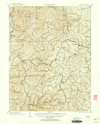
1912 Map of Crawford
USGS Topo · Published 1956About this map
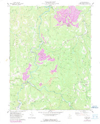
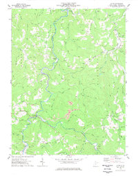
The West Fork Monongahela River and the Little Kanawha River define the intricate drainage systems of this Central West Virginia landscape before modern development. In the early twentieth century, the area was a dense network of small rural communities and family-named schools, such as Radabaugh School and McCutcheon School, serving the local families in districts like Skin Creek and Collins Settlement. Transport infrastructure was dominated by the Baltimore & Ohio RR passing through Roanoke Sta and the Coal & Coke Ry threading through the eastern hills near Frenchton. Distinctive landmarks like the Devils Darning Needle and Rock Cave provide orientation in a region where industrial activity was localized, evident at Alkires Mills. This survey preserves the exact locations of numerous vanished rural institutions, from Slab Camp School to Whites Camp School, providing a detailed record of the pre-war educational and social landscape.
Find a feature on this map
129 named features on this map. Tap any name to fly to it.
Don’t see what you’re looking for? This feature index may not catch every label — zoom into the map to look around manually.
Map Details
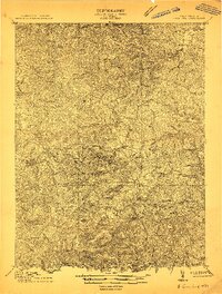
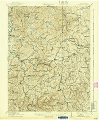
Editions of this 1912 Crawford Map
2 editions found
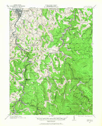
Historical Maps of Buckhannon Through Time
11 maps found
1912 Crawford
Upshur County, WV
1912 Sago
Upshur County, WV
1914 Crawford
Upshur County, WV

1914 Sago
Upshur County, WV
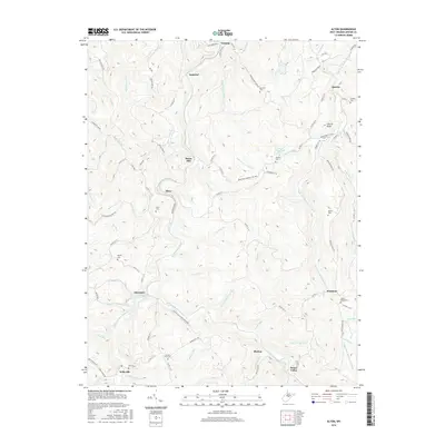
1974 Alton
Upshur County, WV
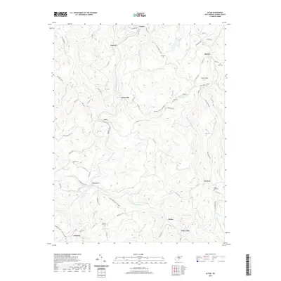
1977 Alton
Upshur County, WV
2010 Alton
Upshur County, WV
2014 Alton
Upshur County, WV
2016 Alton
Upshur County, WV
2019 Alton
Upshur County, WV
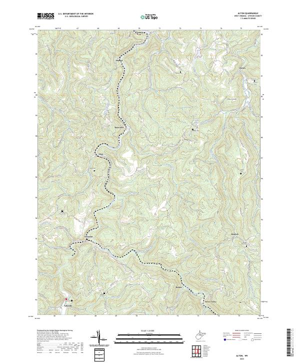
2023 Alton
Upshur County, WV