1912 Map of Crawford
USGS Topo · Published 1912About this map
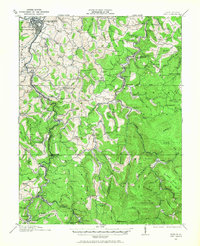
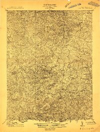
Frenchton and Rock Cave PO anchor this high-relief landscape surveyed just before the Great War, when the region was defined by its dense network of rural schoolhouses. The topography is dominated by the steep drainage basins of the West Fork and the Little Kanawha River, where small settlements like Vandalia, Wheeler, and Atlas developed along the narrow valleys. A striking pattern of local education is evident, with nearly two dozen named institutions such as Jewel School, Salem Camp School, and Indian Camp School serving isolated mountain communities. The ridge-and-valley structure, exemplified by Brushy Fork Ridge, dictated the placement of early post offices and hamlets, illustrating the geographic constraints on West Virginia's interior development during this era of agrarian and timber-driven growth.
Find a feature on this map
37 named features on this map. Tap any name to fly to it.
Don’t see what you’re looking for? This feature index may not catch every label — zoom into the map to look around manually.
Map Details
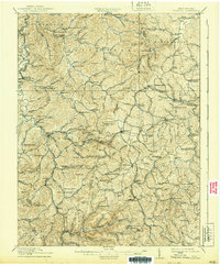
Editions of this 1912 Crawford Map
2 editions found
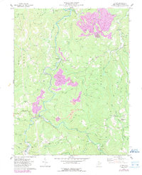
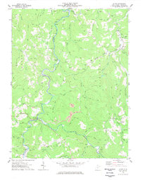
Historical Maps of Buckhannon Through Time
7 maps found