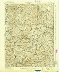
1914 Map of Crawford
USGS Topo · Published 1939About this map
Collins Settlement and Meade districts are defined by a dense network of upland farms and valley communities in this early 20th-century survey. The landscape is characterized by its numerous small schools, such as Handkerchief School, Slab Camp School, and Upper Glady School, which served the scattered populations along the winding ridges and hollows. The Baltimore and Ohio RR cuts through the northwest, connecting Roanoke and Roanville Sta to the broader regional economy.
Find a feature on this map
133 named features on this map. Tap any name to fly to it.
Don’t see what you’re looking for? This feature index may not catch every label — zoom into the map to look around manually.
Map Details
Editions of this 1914 Crawford Map
3 editions found

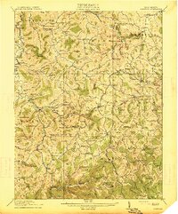
Other maps of this area

1893 · Buckhannon
USGS Topo · 1:125,000

1893 · Sutton
USGS Topo · 1:125,000

1896 · Buckhannon
USGS Topo · 1:125,000

1897 · Buckhannon
USGS Topo · 1:125,000

1904 · Philippi
USGS Topo · 1:62,500

1904 · Weston
USGS Topo · 1:62,500

1904 · Vadis
USGS Topo · 1:62,500

1906 · Burnsville
USGS Topo · 1:62,500

1908 · Sutton
USGS Topo · 1:48,000

1910 · Sutton Special
USGS Topo · 1:62,500