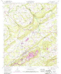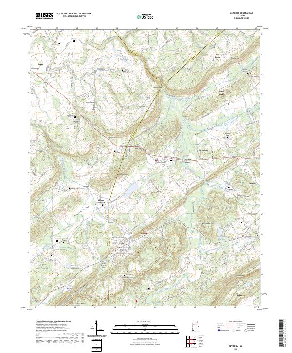
2024 Map of Altoona
USGS Topo · Published 2024About this map
Altoona and Walnut Grove anchor this region where the ridges of Sand Mountain and Blount Mountain converge. The landscape is defined by a series of prominent gaps and valleys, including Nelson Gap, Tanyard Gap, and the broad expanse of Murphree Valley. These natural corridors have long shaped the movement of people and commerce between the three bordering counties. For genealogists, the map is densely populated with family-named landmarks and historical burial sites like New Emmaus Cem Southwest and Samuels Chapel Cem. Waterways such as the Locust Fork and Bristow Creek wind through the terrain, supporting local landmarks like Snead Lake One and the Jenkins Number One Lake. From the heights of Red Mountain to the agricultural reaches of Greasy Cove, the map documents a community deeply integrated with its complex topography.
Find a feature on this map
160 named features on this map. Tap any name to fly to it.
Don’t see what you’re looking for? This feature index may not catch every label — zoom into the map to look around manually.
Map Details
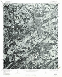
Editions of this 2024 Altoona Map
This is the sole edition of this map. No revisions or reprints were ever made.