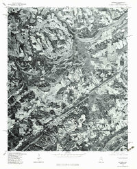
1975 Map of Altoona
USGS Topo · Published 1983About this map
Altoona anchors the southern portion of this orthophotomap, showing a detailed photographic view of the landscape during the mid-1970s. This specific type of survey combines the visual detail of aerial photography with the geometric accuracy of a topographic map, revealing the intricate patterns of agricultural clearings and forested ridges that define this part of Etowah County. Moving north, the settlement of Walnut Grove appears as a small cluster of structures amidst a mosaic of fields, while Snead occupies the northwestern corner of the quadrangle.
Find a feature on this map
3 named features on this map. Tap any name to fly to it.
Don’t see what you’re looking for? This feature index may not catch every label — zoom into the map to look around manually.
Map Details
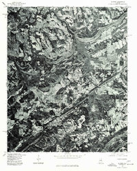
Editions of this 1975 Altoona Map
2 editions found
Other maps of this area

1885 · Gadsden
USGS Topo · 1:125,000

1888 · Gadsden
USGS Topo · 1:125,000

1889 · Springville
USGS Topo · 1:125,000

1892 · Springville
USGS Topo · 1:125,000

1892 · Gadsden
USGS Topo · 1:125,000

1895 · Gadsden
USGS Topo · 1:125,000

1903 · Gadsden
USGS Topo · 1:125,000

1936 · Mountainboro
USGS Topo · 1:24,000
1936 · Brooksville
USGS Topo · 1:24,000

1936 · High Point
USGS Topo · 1:24,000