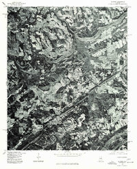
1975 Map of Altoona
USGS Topo · Published 1977About this map
Altoona and its surrounding Etowah County landscape are captured during the mid-1970s in this orthophotomap, which utilizes high-altitude aerial imagery to show the intersection of rural agriculture and small-town development. The imagery reveals the distinct linear patterns of woodland ridges contrasting with the cleared patchwork of farmland and pastures. Significant settlements like Walnut Grove and the northern edge of Snead are visible as clusters of structures along the primary road network. Produced in cooperation with the Soil Conservation Service, this document highlights the land use of the era, from the density of forest cover to the organized distribution of homesteads and businesses that define this northern Alabama region.
Find a feature on this map
3 named features on this map. Tap any name to fly to it.
Don’t see what you’re looking for? This feature index may not catch every label — zoom into the map to look around manually.
Map Details
Editions of this 1975 Altoona Map
2 editions found
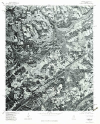
Other maps of this area

1885 · Gadsden
USGS Topo · 1:125,000

1888 · Gadsden
USGS Topo · 1:125,000

1889 · Springville
USGS Topo · 1:125,000

1892 · Springville
USGS Topo · 1:125,000

1892 · Gadsden
USGS Topo · 1:125,000

1895 · Gadsden
USGS Topo · 1:125,000

1903 · Gadsden
USGS Topo · 1:125,000

1936 · Mountainboro
USGS Topo · 1:24,000
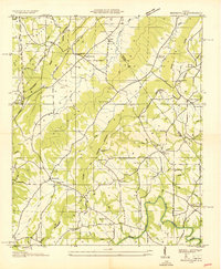
1936 · Brooksville
USGS Topo · 1:24,000

1936 · High Point
USGS Topo · 1:24,000