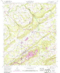
1958 Map of Altoona
USGS Topo · Published 1986About this map
Altoona stands at the foot of Altoona Mountain in this mid-century topographic record, where the industrial legacy of the area is evident in the strip mines located south of the town center. The landscape is defined by the parallel ridges of Sand Mountain and Red Mountain, which frame the agricultural and residential development within Murphree Valley. Transportation and commerce during this era relied on the Louisville and Nashville railroad, which follows the valley floor through Ellison Crossroads.
Find a feature on this map
53 named features on this map. Tap any name to fly to it.
Don’t see what you’re looking for? This feature index may not catch every label — zoom into the map to look around manually.
Map Details
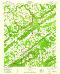
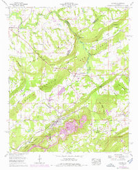
Editions of this 1958 Altoona Map
3 editions found
Other maps of this area

1885 · Gadsden
USGS Topo · 1:125,000

1888 · Gadsden
USGS Topo · 1:125,000

1889 · Springville
USGS Topo · 1:125,000

1892 · Springville
USGS Topo · 1:125,000

1892 · Gadsden
USGS Topo · 1:125,000

1895 · Gadsden
USGS Topo · 1:125,000

1903 · Gadsden
USGS Topo · 1:125,000

1936 · Mountainboro
USGS Topo · 1:24,000
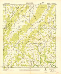
1936 · Brooksville
USGS Topo · 1:24,000

1936 · High Point
USGS Topo · 1:24,000