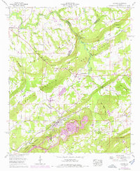
1958 Map of Altoona
USGS Topo · Published 1976About this map
Altoona and Walnut Grove anchor this 1958 survey of the Alabama ridge-and-valley country, where the intersection of industry and rural life is clearly etched. The landscape is defined by the parallel ridges of Sand Mountain and Altoona Mountain, with the Locust Fork Black Warrior River carving a serpentine path through the northern gaps. Evidence of the region’s coal economy is prominent, with several strip mines located south of Altoona, illustrating the extractive industry that shaped these hills during the mid-20th century.
Find a feature on this map
66 named features on this map. Tap any name to fly to it.
Don’t see what you’re looking for? This feature index may not catch every label — zoom into the map to look around manually.
Map Details
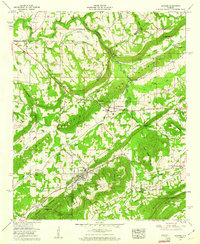
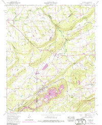
Editions of this 1958 Altoona Map
3 editions found
Other maps of this area

1885 · Gadsden
USGS Topo · 1:125,000

1888 · Gadsden
USGS Topo · 1:125,000

1889 · Springville
USGS Topo · 1:125,000

1892 · Springville
USGS Topo · 1:125,000

1892 · Gadsden
USGS Topo · 1:125,000

1895 · Gadsden
USGS Topo · 1:125,000

1903 · Gadsden
USGS Topo · 1:125,000

1936 · Mountainboro
USGS Topo · 1:24,000
1936 · Brooksville
USGS Topo · 1:24,000

1936 · High Point
USGS Topo · 1:24,000