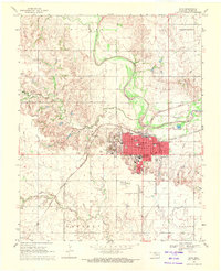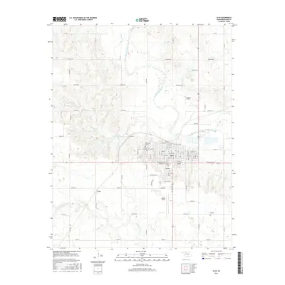
1985 Map of Alva
USGS Topo · Published 1986About this map
Alva serves as a regional hub in northern Oklahoma, home to Northwestern Oklahoma State University and situated along the Salt Fork Arkansas River. This mid-1980s survey captures a landscape defined by the intersection of rail transport and river systems, with the Atchison Topeka And Santa Fe and Burlington Northern lines connecting numerous small agricultural towns like Capron, Ingersoll, and Cherokee. To the east, the Great Salt Plains Reservoir and the surrounding National Wildlife Refuge dominate the basin, while the southwest corner reveals a distinct geologic character at the Little Sahara State Recreation Area, known for its Sand Dunes near Waynoka. The map provides a detailed record of rural infrastructure, from the State School for Boys near Helena to the network of creeks like Eagle Chief Creek and Clay Creek that drain the prairie toward the Cimarron River.
Find a feature on this map
71 named features on this map. Tap any name to fly to it.
Don’t see what you’re looking for? This feature index may not catch every label — zoom into the map to look around manually.
Map Details
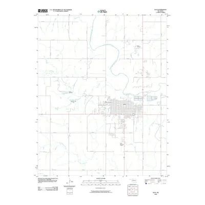
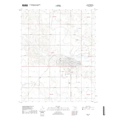
Editions of this 1985 Alva Map
This is the sole edition of this map. No revisions or reprints were ever made.
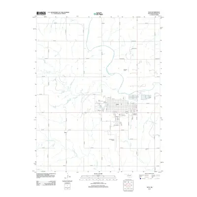
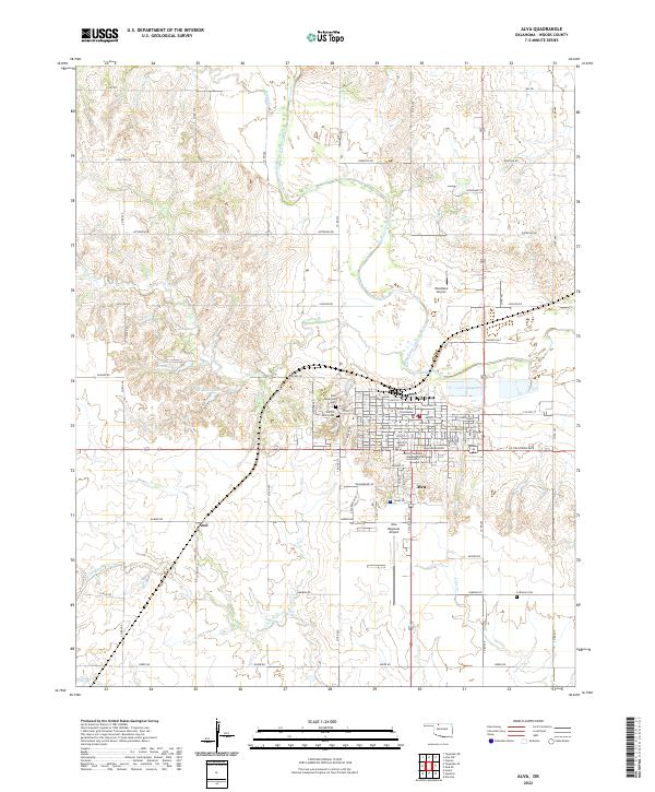
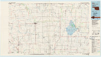
Historical Maps of Alva Through Time
8 maps found