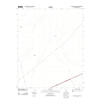
2012 Map of Alvord Mountain East
USGS Topo · Published 2012About this map
Spanish Canyon carves through the arid landscape of San Bernardino County, serving as a primary topographic landmark alongside Clews Ridge. This high-desert terrain is defined by the massive presence of Alvord Mountain, which dominates the northwestern portion of the map. While the area is largely uninhabited, the small settlement of Field sits at the intersection of local infrastructure in the southeast. The map reveals a network of desert thoroughfares including Alvord Mountain Rd, Powerline Rd, and Yermo Rd, which trace the low-lying basins and mountain skirts. The arrangement of these roads and the solitary placement of Field Rd suggest a landscape primarily utilized for transit and utility access, providing a clear view of the region's geographic isolation and structural layout in the early 21st century.
Find a feature on this map
8 named features on this map. Tap any name to fly to it.
Don’t see what you’re looking for? This feature index may not catch every label — zoom into the map to look around manually.
Map Details
Editions of this 2012 Alvord Mountain East Map
This is the sole edition of this map. No revisions or reprints were ever made.
Other maps of this area

1933 · Avawatz Mountains
USGS Topo · 1:250,000

1947 · Trona
USGS Topo · 1:250,000

1948 · Trona
USGS Topo · 1:250,000

1948 · Alvord Mountain
USGS Topo · 1:62,500

1948 · Cave Mountain
USGS Topo · 1:62,500

1951 · Cave Mountain
USGS Topo · 1:62,500

1951 · Alvord Mountain
USGS Topo · 1:62,500

1953 · San Bernardino
USGS Topo · 1:250,000

1953 · Trona
USGS Topo · 1:250,000

1955 · Newberry
USGS Topo · 1:62,500