
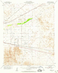
1955 Map of Newberry
USGS Topo · Published 1956About this map
Mojave River flows through this high desert region of San Bernardino County, where the 1950s landscape is defined by its transit corridors and isolated outposts. The Union Pacific and Atchison Topeka And Santa Fe railroads parallel the river, connecting remote stops like Manix, Harvard, and Lava. A significant historical layer is visible at the Camp Cady (Site) and nearby Camp Cady Ranch, marking a location of long-standing water access at Cady Spring.
Find a feature on this map
28 named features on this map. Tap any name to fly to it.
Don’t see what you’re looking for? This feature index may not catch every label — zoom into the map to look around manually.
Map Details
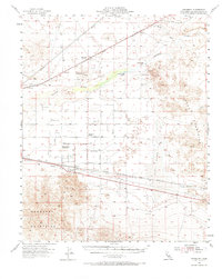
Editions of this 1955 Newberry Map
3 editions found
Other maps of this area

1933 · Avawatz Mountains
USGS Topo · 1:250,000

1947 · Trona
USGS Topo · 1:250,000

1948 · Trona
USGS Topo · 1:250,000

1948 · Alvord Mountain
USGS Topo · 1:62,500

1948 · Cave Mountain
USGS Topo · 1:62,500

1948 · Lane Mountain
USGS Topo · 1:62,500

1951 · Cave Mountain
USGS Topo · 1:62,500

1951 · Alvord Mountain
USGS Topo · 1:62,500

1951 · Lane Mountain
USGS Topo · 1:62,500

1953 · San Bernardino
USGS Topo · 1:250,000