
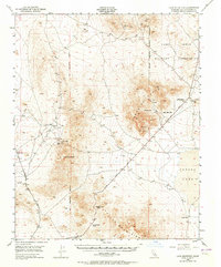
1948 Map of Lane Mountain
USGS Topo · Published 1958About this map
Mining operations and water scarcity dominate this 1948 aerial survey of the High Desert. The arid landscape is anchored by the Calico Mountains and Paradise Range, where extraction efforts are evidenced by the Montana Mine, Gold Divide Mine, and Olympus Mine. A sophisticated network of remote water sources like Williams Well, Lane Well, and Paradise Spr provided critical infrastructure for prospectors and travelers moving through Pickhandle Pass and Jackhammer Gap.
Find a feature on this map
20 named features on this map. Tap any name to fly to it.
Don’t see what you’re looking for? This feature index may not catch every label — zoom into the map to look around manually.
Map Details
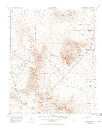
Editions of this 1948 Lane Mountain Map
3 editions found
Other maps of this area

1915 · Searles Lake
USGS Topo · 1:250,000

1932 · Barstow
USGS Topo · 1:125,000

1933 · Avawatz Mountains
USGS Topo · 1:250,000

1934 · Barstow
USGS Topo · 1:125,000

1947 · Trona
USGS Topo · 1:250,000

1948 · Trona
USGS Topo · 1:250,000

1948 · Alvord Mountain
USGS Topo · 1:62,500

1948 · Goldstone Lake
USGS Topo · 1:62,500

1948 · Tiefort Mountains
USGS Topo · 1:62,500

1951 · Goldstone Lake
USGS Topo · 1:62,500