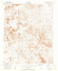
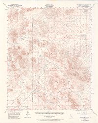
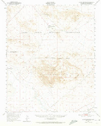
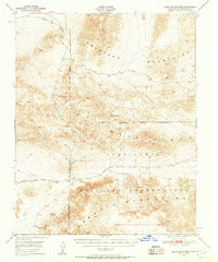
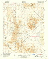
1948 Map of Goldstone Lake
USGS Topo · Published 1964About this map
Goldstone stands as the primary namesake settlement in this high desert landscape, positioned within a region increasingly defined by its mid-century defense role. The terrain is characterized by broad basins like Superior Valley and several dry lake beds, including McLean Lake, Nelson Lake, and Goldstone Lake. These alkali flats provide a stark contrast to the surrounding elevations of the Tiefort Mountains. The 1948 field survey reveals the area during its transition into a restricted zone, dominated by the Camp Irwin Military Reservation. Established boundaries, such as the San Bernardino Meridian, intersect the topography, marking the transition from civilian land use to military operations. For those researching the history of the Mojave Desert, the map documents the network of unimproved roads and benchmarks that predated the more intensive development of the Goldstone Deep Space Communications Complex.
Find a feature on this map
14 named features on this map. Tap any name to fly to it.
Don’t see what you’re looking for? This feature index may not catch every label — zoom into the map to look around manually.
Map Details
Editions of this 1948 Goldstone Lake Map
2 editions found
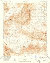
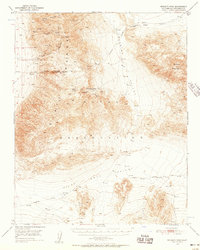
Other maps of this area

1915 · Searles Lake
USGS Topo · 1:250,000

1933 · Avawatz Mountains
USGS Topo · 1:250,000

1947 · Trona
USGS Topo · 1:250,000

1948 · Trona
USGS Topo · 1:250,000
1948 · Alvord Mountain
USGS Topo · 1:62,500
1948 · Quail Mountains
USGS Topo · 1:62,500
1948 · Lane Mountain
USGS Topo · 1:62,500
1948 · Leach Lake
USGS Topo · 1:62,500
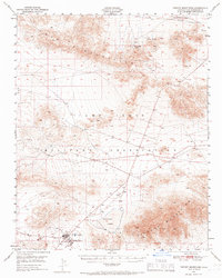
1948 · Tiefort Mountains
USGS Topo · 1:62,500
1950 · Wingate Pass
USGS Topo · 1:62,500