
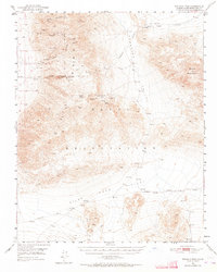
1950 Map of Wingate Pass
USGS Topo · Published 1957About this map
Mining operations and remote springs dot this mid-century desert landscape between the Slate Range and the Panamint Range. The survey reflects a period of intense prospecting and extraction, evidenced by the concentration of sites like the Virginia Ann Mine, Sandora Mine, and the Colorado Mine situated north of New York Canyon. Industrial infrastructure appears at Deans Mill, while water sources—critical in this arid environment—are carefully documented at Lost Willow Spring, Amity Spr, and Layton Well.
Find a feature on this map
24 named features on this map. Tap any name to fly to it.
Don’t see what you’re looking for? This feature index may not catch every label — zoom into the map to look around manually.
Map Details
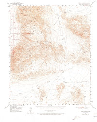
Editions of this 1950 Wingate Pass Map
3 editions found
Other maps of this area

1915 · Searles Lake
USGS Topo · 1:250,000

1933 · Avawatz Mountains
USGS Topo · 1:250,000

1947 · Trona
USGS Topo · 1:250,000

1948 · Trona
USGS Topo · 1:250,000

1948 · Quail Mountains
USGS Topo · 1:62,500

1948 · Goldstone Lake
USGS Topo · 1:62,500

1949 · Trona
USGS Topo · 1:62,500

1949 · Searles Lake
USGS Topo · 1:62,500

1950 · Searles Lake
USGS Topo · 1:62,500

1950 · Trona
USGS Topo · 1:62,500