
1949 Map of Searles Lake
USGS Topo · Published 1960About this map
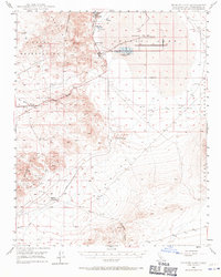
Industrial mineral extraction and military testing define this high-desert landscape in the late 1940s. The eastern shore of the dry lake bed is clustered with worker settlements and processing facilities, including Argus, Bordsolvay, South Trona, and Westend. This industrial corridor was once supported by the now Dismantled R R that tracks north-south along the basin. To the west, the Argus Range rises sharply, while the southern reaches contain striking geological formations like The Pinnacles. Much of the eastern portion of the map is occupied by the Naval Ordnance Test Station Inyokern (China Lake), showing the post-war expansion of military research in the San Bernardino desert. Smaller outlying locales like Spangler and The Y mark remote junctions along the roads leading toward Salt Wells Valley, where scattered inactive mines and Prospects speak to the area's earlier prospecting history.
Find a feature on this map
24 named features on this map. Tap any name to fly to it.
Don’t see what you’re looking for? This feature index may not catch every label — zoom into the map to look around manually.
Map Details
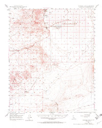
Editions of this 1949 Searles Lake Map
3 editions found
Other maps of this area

1903 · Randsburg
USGS Topo · 1:62,500

1911 · Randsburg
USGS Topo · 1:62,500

1912 · Randsburg
USGS Topo · 1:62,500

1915 · Searles Lake
USGS Topo · 1:250,000

1947 · Trona
USGS Topo · 1:250,000

1948 · Trona
USGS Topo · 1:250,000

1949 · Trona
USGS Topo · 1:62,500

1950 · Searles Lake
USGS Topo · 1:62,500

1950 · Trona
USGS Topo · 1:62,500

1950 · Manly Peak
USGS Topo · 1:62,500