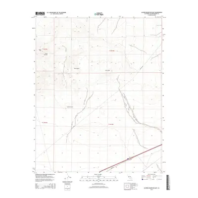
2015 Map of Alvord Mountain East
USGS Topo · Published 2015About this map
Alvord Peak and Alvord Mountain anchor the northwestern corner of this study, overlooking the expansive arid landscape of the Mojave Desert in San Bernardino County. The topography is defined by significant drainage systems, most notably Spanish Canyon, which cuts through the central portion of the sheet. Modern infrastructure is represented by Yermo Rd and the Powerline Rd, which trace the southern and eastern edges of the mountains. This 2015 edition, produced by the U.S. Geological Survey, uses high-resolution data to detail the desert's complex relief, including the prominent Clews Ridge. The map illustrates a stark environment where transportation corridors are dictated by the natural gaps in the volcanic and metamorphic formations of the region.
Find a feature on this map
11 named features on this map. Tap any name to fly to it.
Don’t see what you’re looking for? This feature index may not catch every label — zoom into the map to look around manually.
Map Details
Editions of this 2015 Alvord Mountain East Map
This is the sole edition of this map. No revisions or reprints were ever made.
Other maps of this area

1933 · Avawatz Mountains
USGS Topo · 1:250,000

1947 · Trona
USGS Topo · 1:250,000

1948 · Trona
USGS Topo · 1:250,000

1948 · Alvord Mountain
USGS Topo · 1:62,500

1948 · Cave Mountain
USGS Topo · 1:62,500

1951 · Cave Mountain
USGS Topo · 1:62,500

1951 · Alvord Mountain
USGS Topo · 1:62,500

1953 · San Bernardino
USGS Topo · 1:250,000

1953 · Trona
USGS Topo · 1:250,000

1955 · Newberry
USGS Topo · 1:62,500