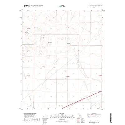
2018 Map of Alvord Mountain East
USGS Topo · Published 2018About this map
Alvord Mountain and the high elevation of Alvord Peak dominate this landscape within the northern Mojave Desert. The map records a transition from the complex topography of Clews Ridge and the drainage of Spanish Canyon down into the flatter desert basin. Transportation corridors are defined by Alvord Mountain Rd and the southern passage along Yermo Rd and Field Rd. This 2018 survey reveals the relationship between the elevated desert ranges and the infrastructure that skirts their base, offering a precise view of the land before any further modern development. The inclusion of Township and Range boundaries, such as t12n r4e, provides an essential grid for property research and land management history in this part of San Bernardino County.
Find a feature on this map
13 named features on this map. Tap any name to fly to it.
Don’t see what you’re looking for? This feature index may not catch every label — zoom into the map to look around manually.
Map Details
Editions of this 2018 Alvord Mountain East Map
This is the sole edition of this map. No revisions or reprints were ever made.
Other maps of this area

1933 · Avawatz Mountains
USGS Topo · 1:250,000

1947 · Trona
USGS Topo · 1:250,000

1948 · Trona
USGS Topo · 1:250,000

1948 · Alvord Mountain
USGS Topo · 1:62,500

1948 · Cave Mountain
USGS Topo · 1:62,500

1951 · Cave Mountain
USGS Topo · 1:62,500

1951 · Alvord Mountain
USGS Topo · 1:62,500

1953 · San Bernardino
USGS Topo · 1:250,000

1953 · Trona
USGS Topo · 1:250,000

1955 · Newberry
USGS Topo · 1:62,500