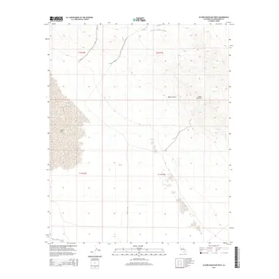
2015 Map of Alvord Mountain West
USGS Topo · Published 2015About this map
Coyote Lake defines the western margin of this arid landscape, its dry bed appearing as a broad salt pan or playa within the larger Mojave Desert. The terrain rises sharply to the east toward the peaks of Alvord Mountain, where contour lines reveal the complex drainage patterns of seasonal washes flowing toward the basin. The survey delineates the township and range lines of t12n r2e, t12n r3e, t11n r2e, and t11n r3e, showing the intersection of public land survey grids in a region largely devoid of permanent structures. Access to the area is primarily facilitated by Coyote-Lake-Rd, which skirts the southern edge of the lake bed, providing a route for those traversing this remote section of San Bernardino County.
Find a feature on this map
8 named features on this map. Tap any name to fly to it.
Don’t see what you’re looking for? This feature index may not catch every label — zoom into the map to look around manually.
Map Details
Editions of this 2015 Alvord Mountain West Map
This is the sole edition of this map. No revisions or reprints were ever made.
Other maps of this area

1933 · Avawatz Mountains
USGS Topo · 1:250,000

1947 · Trona
USGS Topo · 1:250,000

1948 · Trona
USGS Topo · 1:250,000

1948 · Alvord Mountain
USGS Topo · 1:62,500

1948 · Lane Mountain
USGS Topo · 1:62,500

1951 · Alvord Mountain
USGS Topo · 1:62,500

1951 · Lane Mountain
USGS Topo · 1:62,500

1953 · San Bernardino
USGS Topo · 1:250,000

1953 · Yermo
USGS Topo · 1:24,000

1953 · Trona
USGS Topo · 1:250,000