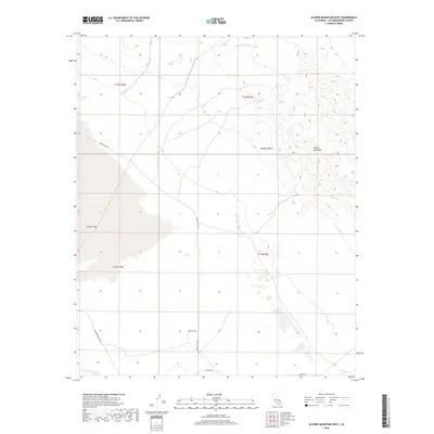
2018 Map of Alvord Mountain West
USGS Topo · Published 2018About this map
Coyote Lake and the arid expanse of the Mojave Desert dominate this 2018 U.S. Geological Survey topographic study. The landscape is characterized by the dry basin of the lake and the rising elevations of Alvord Mountain in the northeast. Water remains a scarce but critical element, marked by the presence of Jack Rabbit Spring in the northwest. The map details a network of desert routes, including Coyote Lake Rd and Paradise Springs Rd, which provide access through these remote sections of San Bernardino County. These roads, along with smaller tracks like Bragdon Rd and Novato St, reflect the sparse human footprint in a region defined by township boundaries such as t12n r3e and t11n r2e.
Find a feature on this map
13 named features on this map. Tap any name to fly to it.
Don’t see what you’re looking for? This feature index may not catch every label — zoom into the map to look around manually.
Map Details
Editions of this 2018 Alvord Mountain West Map
This is the sole edition of this map. No revisions or reprints were ever made.
Other maps of this area

1933 · Avawatz Mountains
USGS Topo · 1:250,000

1947 · Trona
USGS Topo · 1:250,000

1948 · Trona
USGS Topo · 1:250,000

1948 · Alvord Mountain
USGS Topo · 1:62,500

1948 · Lane Mountain
USGS Topo · 1:62,500

1951 · Alvord Mountain
USGS Topo · 1:62,500

1951 · Lane Mountain
USGS Topo · 1:62,500

1953 · San Bernardino
USGS Topo · 1:250,000

1953 · Yermo
USGS Topo · 1:24,000

1953 · Trona
USGS Topo · 1:250,000