2023 Map of Alvordton
USGS Topo · Published 2023About this map
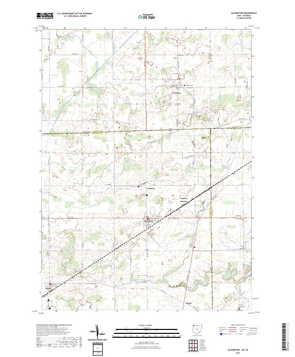
Alvordton serves as a central hub on this landscape where the borders of Ohio and Michigan meet. The village sits at the crossroads of Us Rte 20 and Co RD 20, anchoring a region of small rural settlements including Waldron to the north and Kunkle to the southwest. The presence of numerous family and community burial grounds, such as Walnut Grove Cem and Olive Branch Cem, highlights the long-standing agricultural roots of Williams County. The terrain is defined by a network of drainage and small waterways like the East Branch Saint Joseph River and the West Fork Mill Creek, which wind through the township grids. Of particular interest is the North Country National Scenic Trl, which meanders through the northern section of the map, providing a modern recreational layer over the traditional farm-to-market road system.
Find a feature on this map
70 named features on this map. Tap any name to fly to it.
Don’t see what you’re looking for? This feature index may not catch every label — zoom into the map to look around manually.
Map Details
Editions of this 2023 Alvordton Map
This is the sole edition of this map. No revisions or reprints were ever made.
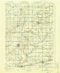
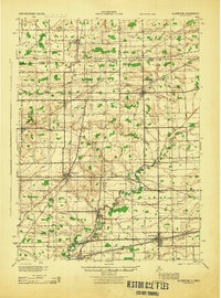
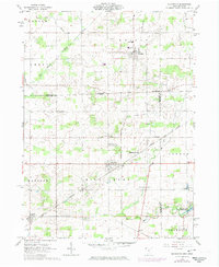
Historical Maps of Madison Township Through Time
4 maps found
Featured Locations
- Wright Township, MI
- Amboy Township, MI
- Kunkle, Madison Township
- Alvordton, Mill Creek Township
- Waldron, Wright Township