Loading...
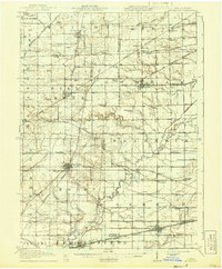
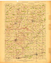
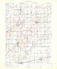
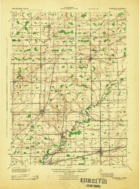
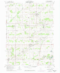
Loading map...1913 Map of Alvordton
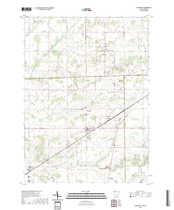
USGS Topo · Published 1941About this map
West Unity and Archbold anchor this early 20th-century survey of the rural borderlands between Ohio and Michigan. The landscape is defined by a dense network of numbered school districts and country churches, such as Gray Church and the Mennonite Church, reflecting the area's strong communal and religious foundations. Significant rail infrastructure crosses the territory, including the Wabash RR and the Lake Shore and Michigan Southern RR, which fueled the growth of shipping points like Alvordton and Munson.
Find a feature on this map
82 named features on this map. Tap any name to fly to it.
Don’t see what you’re looking for? This feature index may not catch every label — zoom into the map to look around manually.
Map Details
Date Portrayed1913
Date Published1941
PublisherU.S. Geological Survey
Map TypeTopographic
Scale1:62,500
Physical Dimensions16.5 x 20 inches
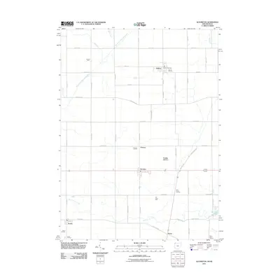
Editions of this 1913 Alvordton Map
3 editions found
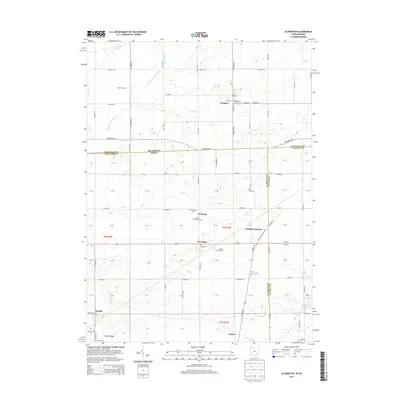
Historical Maps of Archbold Through Time
8 maps found
Featured Locations
- Archbold, OH
- Fayette, OH
- Stryker, Springfield Township
- West Unity, Brady Township
- Waldron, Wright Township
Source Details
SourceU.S. Geological Survey
CopyrightPublic Domain