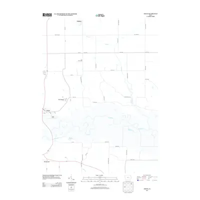
2013 Map of Amana
USGS Topo · Published 2013About this map
The Iowa River meanders broadly through this central Iowa landscape, defining the character of the Amana Colonies region in the early twenty-first century. The map centers on the historic communal settlements of Amana, East Amana, and Homestead, showing their distinct grid patterns and relationship to the fertile bottomlands. These villages, founded in the mid-19th century, are joined by the town of Walford to the north, which sits along the Benton Iowa Rd.
Find a feature on this map
52 named features on this map. Tap any name to fly to it.
Don’t see what you’re looking for? This feature index may not catch every label — zoom into the map to look around manually.
Map Details
Editions of this 2013 Amana Map
This is the sole edition of this map. No revisions or reprints were ever made.
Other maps of this area

1887 · Cedar Rapids
USGS Topo · 1:62,500

1888 · Amana
USGS Topo · 1:62,500

1889 · Amana
USGS Topo · 1:62,500

1891 · Oxford
USGS Topo · 1:62,500

1891 · Cedar Rapids
USGS Topo · 1:62,500

1891 · Iowa City
USGS Topo · 1:62,500

1894 · Oxford
USGS Topo · 1:62,500

1899 · Amana
USGS Topo · 1:62,500

1903 · Fairfax
USGS Topo · 1:125,000

1938 · Iowa City
USGS Topo · 1:62,500