2022 Map of Amana
USGS Topo · Published 2022About this map
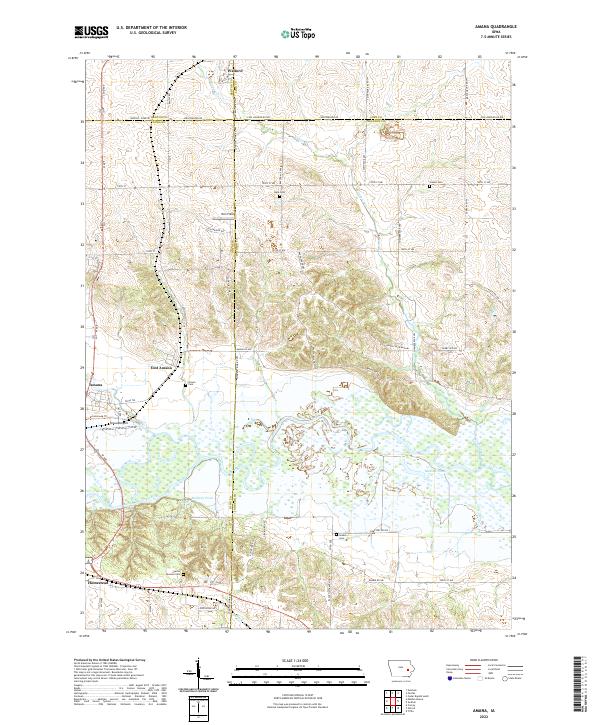
Amana and East Amana anchor the western edge of this landscape, situated near the broad wetlands and braided channels of the Iowa River. The region is defined by a dense network of county roads and section lines that bridge the counties of Benton, Iowa, Johnson, and Linn. Along these rural corridors, several family and community burial sites remain, including Brown Cem, Grabin Cem, and the uniquely named Spicer Spooner Cem. Northward, the village of Walford sits near the county line, while the drainage of Knapp Cr carves through the central terrain. Significant local landmarks such as the Amana Airport and the settlement of Homestead reflect the continued importance of transportation and community hubs in this part of eastern Iowa. Notable water features like Holdens Pond and Matson Pond punctuate the river valley, marking the low-lying areas between the upland fields.
Find a feature on this map
67 named features on this map. Tap any name to fly to it.
Don’t see what you’re looking for? This feature index may not catch every label — zoom into the map to look around manually.
Map Details
Editions of this 2022 Amana Map
This is the sole edition of this map. No revisions or reprints were ever made.
Historical Maps of Oxford Township Through Time
5 maps found